Napfspitze, Alpine summit in Zillertal Alps, Italy
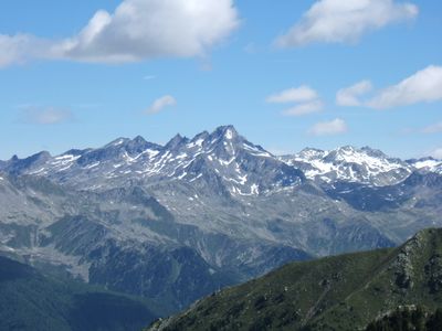
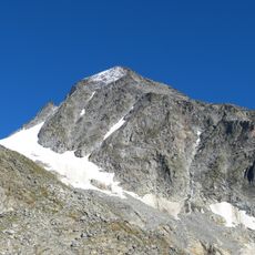
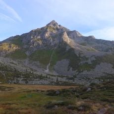
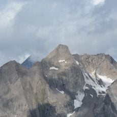
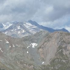
Cima Cadini, also called Napfspitze, is a mountain in the Zillertal Alps standing at 2,882 meters high. The landscape features steep slopes, rocky ridges, and lower alpine meadows that surround the summit area.
The first documented ascent took place in 1880 when mountaineers R. Seyerlein and St. Kirchner completed the southern arête route. Since then the peak has become a regular destination for climbers and hikers exploring the Alps.
The mountain carries two names reflecting South Tyrol's bilingual identity: Napfspitze in German and Cima Cadini in Italian. Both names are used locally by residents and visitors alike, showing how cultures blend in this Alpine region.
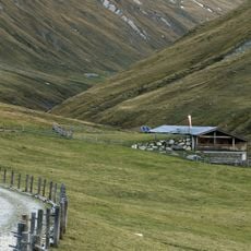
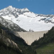
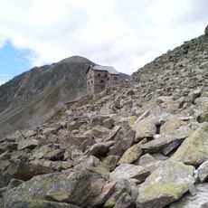
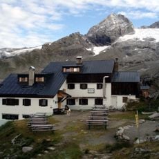
The climb starts from the Neves reservoir at 1,860 meters and follows marked trails through Pfeifholdertal valley. From the Edelrauth hut at 2,545 meters the final steep sections require moderate to advanced climbing skills.
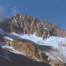
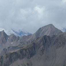
A small glacier called Grießbachjochkees sits on the northeastern face and is visible during most of the year. The ridge system extends northward to the adjacent Riblerkamm, creating a striking continuous Alpine skyline.
The community of curious travelers
AroundUs brings together thousands of curated places, local tips, and hidden gems, enriched daily by 60,000 contributors worldwide.