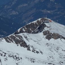
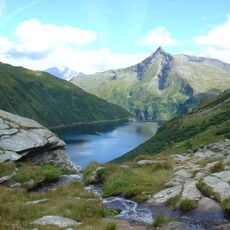
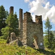
Silberpfennig, Mountain summit in Salzburg, Austria.
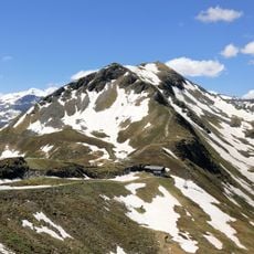
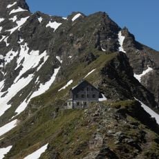
Silberpfennig is a 2600 m peak in the Goldberg Group of the Hohen Tauern, on the municipal boundary between Bad Hofgastein and Bad Gastein, just east of the border with Rauris and about 5.5 km west of Böckstein. Its steep northeast face drops toward the Angertal and is called the Lange Wand. The summit is named after former silver mining in the area.
The Silberpfennig takes its name from the silver mining once carried out on its slopes. In Roman times the mines were probably reached from the south by a cart road over the Mallnitzer Tauern, since the mountain drops steeply to the northeast toward the Angertal in a face called the Lange Wand. The summit lies on the municipal boundary between Bad Hofgastein and Bad Gastein, just east of the border with Rauris.
The name Silberpfennig comes from the former silver mining in these mountains. The summit lies on the municipal boundary between Bad Hofgastein and Bad Gastein, just east of the border with Rauris. The steep drop to the northeast toward the Angertal is called the Lange Wand.
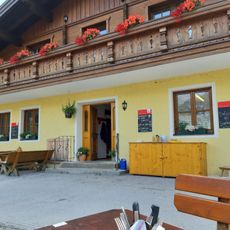
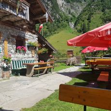
The summit is reachable by marked hiking trails, though the route is demanding and requires good physical condition to complete. Accommodations and restaurants in the valleys below provide a good base for your visit.
The name Silberpfennig comes from former silver mining in these mountains. The steep northeast face toward the Angertal is called the Lange Wand, and Roman-era mining was probably opened from the south via a road over the Mallnitzer Tauern because of this drop.
The community of curious travelers
AroundUs brings together thousands of curated places, local tips, and hidden gems, enriched daily by 93,710 contributors worldwide.