
Bauernhaus, human settlement in Austria
Location: Melk
Address: Kirchenplatz 9
GPS coordinates: 48.22665,15.33138
Latest update: March 5, 2025 17:58

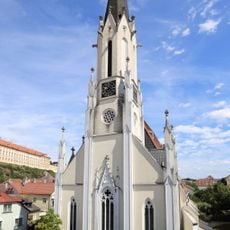
Mariä-Himmelfahrt-Kirche (Melk)
65 m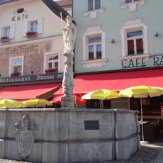
Kolomanibrunnen, Melk
95 m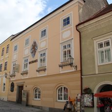
Rathaus Melk
81 m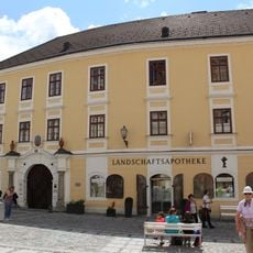
Rathausplatz 10
94 m
Hauptstraße 11, Melk
86 m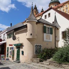
Bürgerhaus, ehem. Salzstadel, ehem. Brotladen Melk
87 m
Hauptstraße 7, Melk
89 m
Hauptstraße 5, Melk
93 m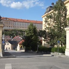
Zwei Torpfeiler, Melk
73 m
Hauptstraße 9, Melk
87 m
Bürgerhaus Hauptstraße 12 Melk
60 m
Rathausplatz 13
46 m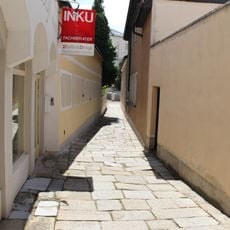
Pflasterung
41 m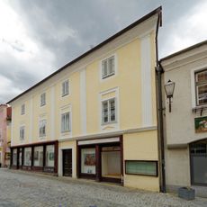
Hauptstraße 18, Melk
67 m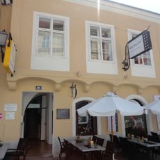
Bürgerhaus
72 m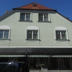
Wohn- und Geschäftshaus
89 m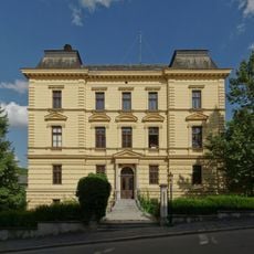
Bezirksgericht
49 m
Klosterschule
92 m
Ehem. Benefiziatenhaus
78 m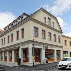
Wohn- und Geschäftshaus
58 m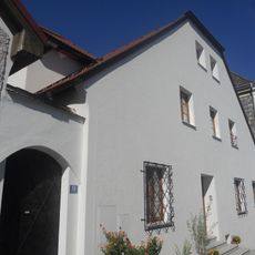
Wohnhaus
98 m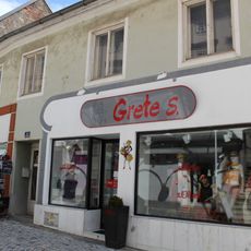
Hauptstraße 8, Melk
87 m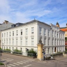
Ehem. Volksschule, Melk
56 m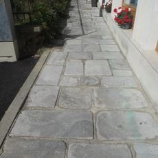
Pflasterung
67 m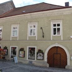
Rathausplatz 12
66 m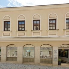
Hauptstraße 6, Melk
94 m
Hauptstraße 14-16, Melk
68 m
Rathausplatz 14
61 mReviews
Visited this place? Tap the stars to rate it and share your experience / photos with the community! Try now! You can cancel it anytime.
Discover hidden gems everywhere you go!
From secret cafés to breathtaking viewpoints, skip the crowded tourist spots and find places that match your style. Our app makes it easy with voice search, smart filtering, route optimization, and insider tips from travelers worldwide. Download now for the complete mobile experience.

A unique approach to discovering new places❞
— Le Figaro
All the places worth exploring❞
— France Info
A tailor-made excursion in just a few clicks❞
— 20 Minutes