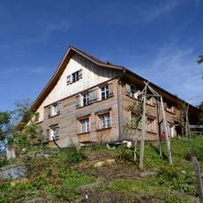
Schuttannen, Mountain pasture in Hohenems, Austria.
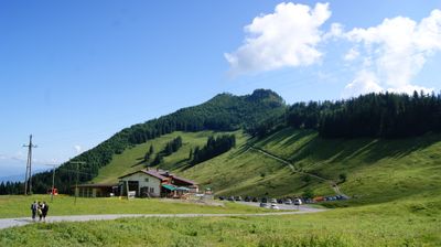
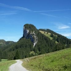
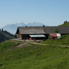
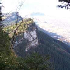
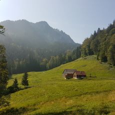
Schuttannen is a mountain pasture situated at about 1148 meters elevation, where views extend across the Rhine Valley toward Lake Constance. The terrain is crisscrossed by hiking trails that pass through both open grassland and tree-covered slopes.
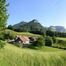
The pasture has served as grazing land for centuries, becoming essential to the livelihood of local farming communities in the region. Its management has always followed the rhythms of the seasons and the natural conditions of the Alpine landscape.
Cattle herds graze freely across the open meadows during the warm season, creating a working landscape shaped by pastoral traditions. This ongoing practice connects visitors to forms of farming that have defined the region for centuries.
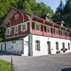
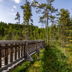
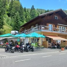
The Berggasthof Schuttannen parking area serves as the main starting point for exploring the trails that crisscross the meadows and forested sections. Good hiking boots and weather-appropriate clothing are important as conditions can change quickly at this elevation.
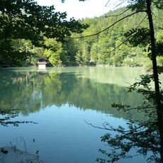
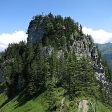
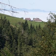
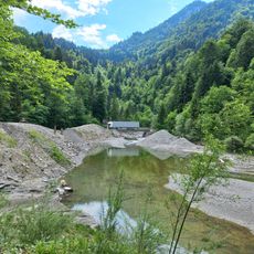
A hiking path leads from here to Staufenspitze, transitioning between open alpine meadows and dense forest sections as it climbs. This route illustrates how dramatically the surroundings shift as you gain elevation across different ecological zones.
The community of curious travelers
AroundUs brings together thousands of curated places, local tips, and hidden gems, enriched daily by 60,000 contributors worldwide.