
Denkmal 1809 in Ainet, Denkmal in Ainet, Osttirol
Location: Ainet
Inception: 1908
GPS coordinates: 46.86422,12.68933
Latest update: March 31, 2025 05:39

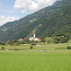
Pfarrkirche Ainet
388 m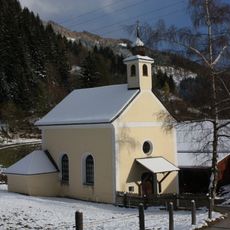
Alkus, St. Josefs-Kapelle
1.3 km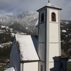
Kapelle hl. Wolfgang
813 m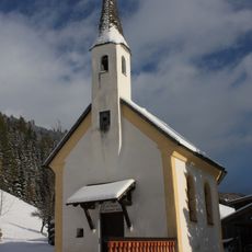
Alkus, St. Maria Kapelle
1.7 km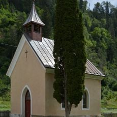
Ainet, Herz-Jesu-Kapelle
2.2 km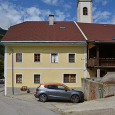
Bauernhaus Ortner
417 m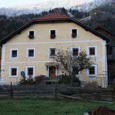
Ainet, Wohnhaus des Paarhofes Kircher
352 m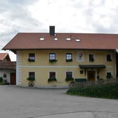
Bauernhaus Schmied
26 m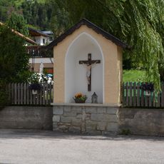
Nischenbildstock mit Kruzifix in Ainet
245 m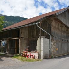
Wirtschaftsgebäude Kircher
364 m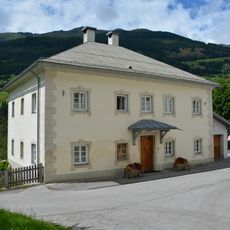
Widum Ainet
413 m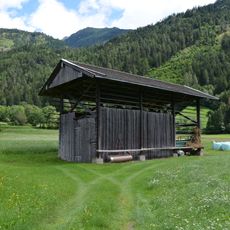
Messnerharpfe
641 m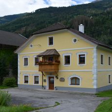
Bauernhaus Ploner
71 m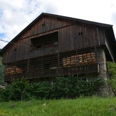
Wirtschaftsgebäude Gstinig
124 m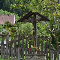
Wegkreuz Ortnerkreuz
424 m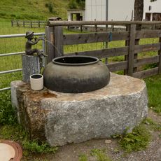
Brunnen Badl
2.2 km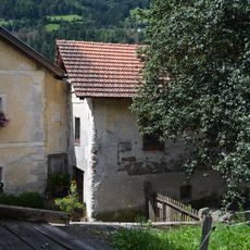
Speicher Kircher-Laden
342 m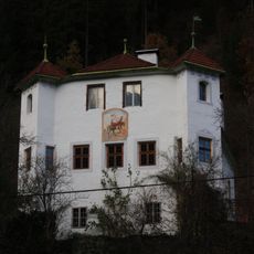
Ansitz Weiherburg
1.8 km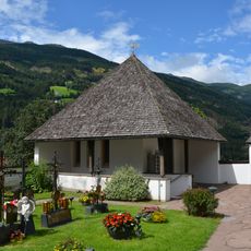
Friedhofskapelle Ainet
353 m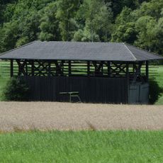
Kircherharpfe
483 m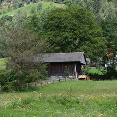
Ortnerharpfe
541 m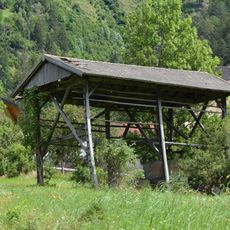
Singerharpfe
307 m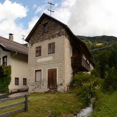
Schmiede Kofler, Roderer
224 m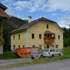
Paarhof Ploner
62 m
Ainet 80
102 m
Unteralkus
1.7 km
Trattnerstöckl
2.1 km
Wirtschaftsgebäude Ploner
54 mReviews
Visited this place? Tap the stars to rate it and share your experience / photos with the community! Try now! You can cancel it anytime.
Discover hidden gems everywhere you go!
From secret cafés to breathtaking viewpoints, skip the crowded tourist spots and find places that match your style. Our app makes it easy with voice search, smart filtering, route optimization, and insider tips from travelers worldwide. Download now for the complete mobile experience.

A unique approach to discovering new places❞
— Le Figaro
All the places worth exploring❞
— France Info
A tailor-made excursion in just a few clicks❞
— 20 Minutes