
Westliche Vorstadt von Carnuntum
Location: Petronell-Carnuntum
Part of: Carnuntum
GPS coordinates: 48.11293,16.83648
Latest update: May 4, 2025 09:29

Carnuntum
1.9 km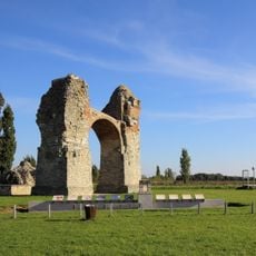
Heidentor
1.6 km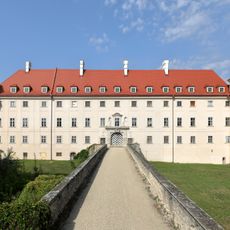
Schloss Petronell
1.8 km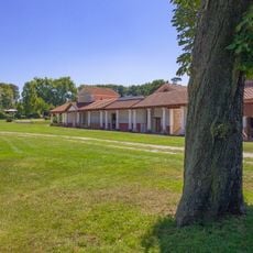
Archäologischer Park Carnuntum
1.9 km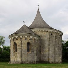
Rundkapelle Petronell
1.9 km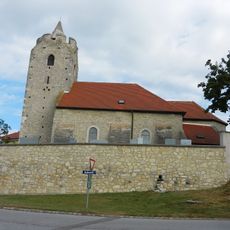
Pfarrkirche Scharndorf
3.5 km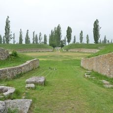
Carnuntum civil amphitheatre
1.1 km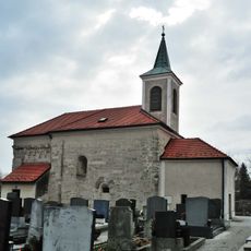
St. Nikolaus (Wildungsmauer)
2.3 km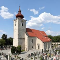
Pfarrkirche hl. Petronella
2.4 km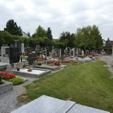
Friedhof Petronell-Carnuntum
2.4 km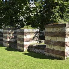
Frontiers of the Roman Empire – The Danube Limes
1.8 km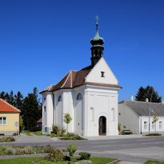
Kapelle hl. Anna
2 km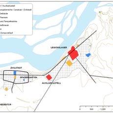
Open air museum Petronell
941 m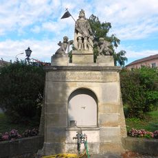
Florianibrunnen
3.5 km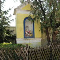
Bildstock
2.1 km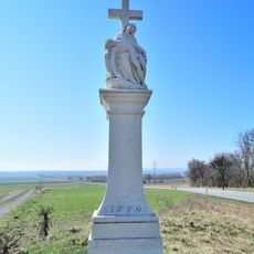
Figurenbildstock
2.6 km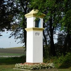
Bildstock
3.8 km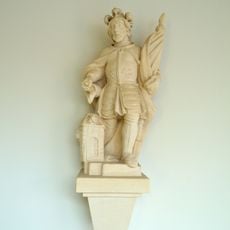
Figur hl. Florian
1.7 km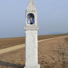
Bildstock
2.7 km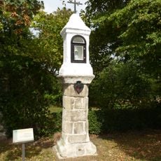
Bildstock
2.6 km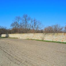
Tiergartenmauer (spolien)
1.1 km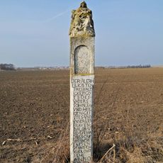
Bildstock
3.8 km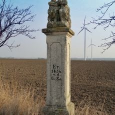
Figurenbildstock
2.9 km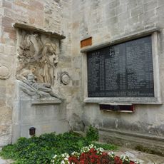
Kriegerdenkmal
2.4 km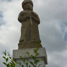
Petronell Mautmännchen
2.5 km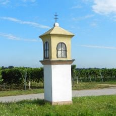
Bildstock
3 km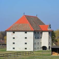
Schüttkasten (herrschaftlich)
1.7 km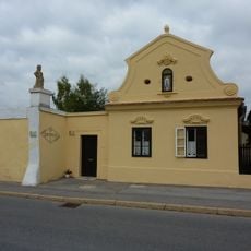
Wohnhaus Bei den Mautmandln
2.5 kmReviews
Visited this place? Tap the stars to rate it and share your experience / photos with the community! Try now! You can cancel it anytime.
Discover hidden gems everywhere you go!
From secret cafés to breathtaking viewpoints, skip the crowded tourist spots and find places that match your style. Our app makes it easy with voice search, smart filtering, route optimization, and insider tips from travelers worldwide. Download now for the complete mobile experience.

A unique approach to discovering new places❞
— Le Figaro
All the places worth exploring❞
— France Info
A tailor-made excursion in just a few clicks❞
— 20 Minutes