Petronell-Carnuntum, municipality in Austria
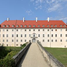
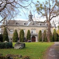
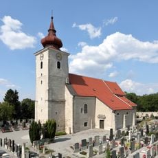
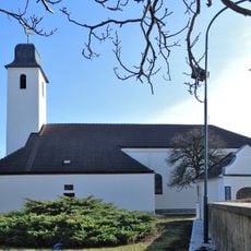
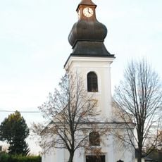
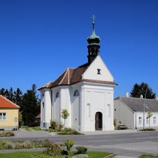
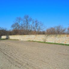
Petronell-Carnuntum is a market municipality in Lower Austria located on the right bank of the Danube in the Bruck an der Leitha district. The settlement spreads across farmland and gentle terrain, with a compact center where public buildings and residences cluster together.
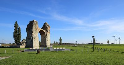
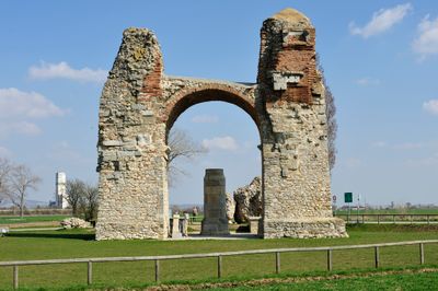
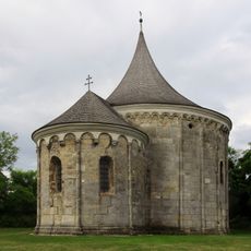
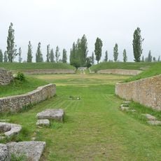
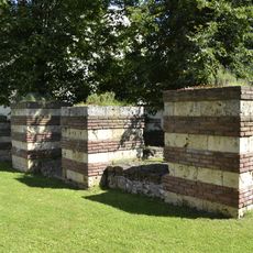
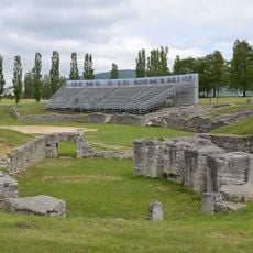
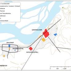
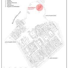
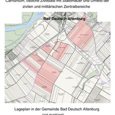
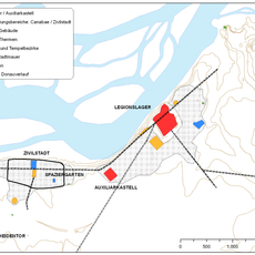
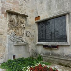
The area emerged from the Roman fort Carnuntum, which once stood here at the empire's frontier. Following Rome's decline, the settlement diminished and later developed as a village again, though archaeological remains of its ancient past remain visible.
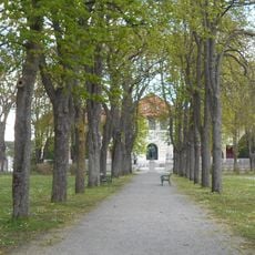
The municipality is easily accessible by car or public transport, with free access to public areas. The flat terrain allows for leisurely walks through the village and toward nearby archaeological sites.
The community of curious travelers
AroundUs brings together thousands of curated places, local tips, and hidden gems, enriched daily by 60,000 contributors worldwide.