Eastern Canada, Geographic region in Canada
Eastern Canada is a large geographic entity stretching from the western shore of the Great Lakes to the Atlantic Ocean coasts and islands, covering six provinces across this breadth. The territory reaches from Ontario's prairie landscapes through the Saint Lawrence River corridor to the cliffs and bays of the maritime provinces.
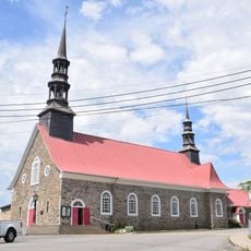
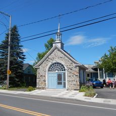
French settlers established posts along the Saint Lawrence River starting in the early seventeenth century, followed by British takeover after 1763. The confederation of 1867 joined the original four provinces into one nation, with additional territories joining later.
The eastern provinces follow two legal systems: Quebec applies French civil law for private matters while the other provinces rely on common law. This division appears in everyday scenes such as bilingual road signs and different business hours across provincial borders.
Overland routes through the territory cover great distances, making car trips between provinces often require a full day or more. Domestic flights reduce travel time considerably and connect all major cities with one another.
The eastern provinces still preserve place names from indigenous languages such as Miꞌkmaq and Inuktitut that appear on maps and road signs. These names often label rivers, lakes and mountain passes according to their geographic features.
The community of curious travelers
AroundUs brings together thousands of curated places, local tips, and hidden gems, enriched daily by 60,000 contributors worldwide.