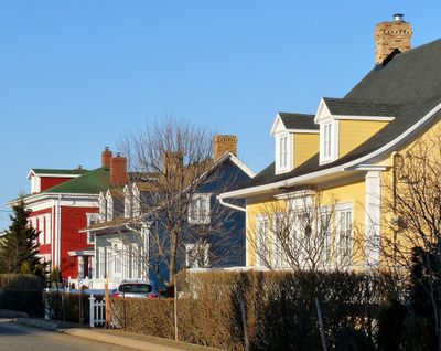
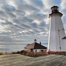
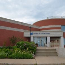
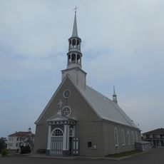
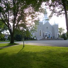
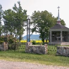
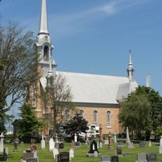
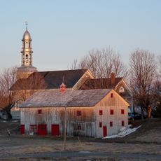
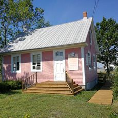
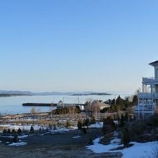
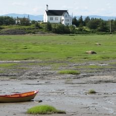
Kamouraska, local municipality of Quebec
Location: Kamouraska
Inception: April 25, 1987
Shares border with: La Malbaie, Saint-Pascal
Website: http://kamouraska.ca
GPS coordinates: 47.56670,-69.86670
Latest update: April 3, 2025 11:51
Phare de Cap au Saumon
22.9 km
Musée de Charlevoix
21.9 km
Saint-André-de-Kamouraska Church
15.5 km
Moulin Paradis
2.5 km
Chapais House
8.8 km
Pont Alfred-Plourde
19.1 km
Church of Our Lady Cause of Our Joy, Rivière-Ouelle
18.5 km
Place de l'église de Sainte-Hélène
10.6 km
Site du Berceau-de-Kamouraska
2.9 km
Saint-Joseph-de-Kamouraska Church
17.6 km
Noyau institutionnel de Kamouraska
244 m
Site du patrimoine du Noyau-Religieux-de-Saint-Joseph-de-Kamouraska
17.6 km
Saint-Gabriel-Lalemant Church
21.1 km
Notre-Dame-du-Mont-Carmel Church
13.9 km
Church of St Louis, Kamouraska
198 m
Saint-Germain Church
5.8 km
Ancien magasin général Norbert-Dionne
18.6 km
Sainte-Hélène Church
10.6 km
Grange-étable Bhérer
21.1 km
Church of St Denis, Saint-Denis-de-la-Bouteillerie
8.9 km
Ancien presbytère de Rivière-Ouelle
18.6 km
Ancien palais de justice de Kamouraska
611 m
Site patrimonial du Moulin-Paradis
2.5 km
Site du patrimoine du noyau paroissial de Saint-André
15.8 km
Domaine de la Seigneurie de l'Islet-du-Portage
9.5 km
Petite école Delisle
16.3 km
Quais de Kamouraska
711 m
Paysage culturel patrimonial de Pointes-aux-Iroquois-et-aux-Orignaux
15.3 kmReviews
Visited this place? Tap the stars to rate it and share your experience / photos with the community! Try now! You can cancel it anytime.
Discover hidden gems everywhere you go!
From secret cafés to breathtaking viewpoints, skip the crowded tourist spots and find places that match your style. Our app makes it easy with voice search, smart filtering, route optimization, and insider tips from travelers worldwide. Download now for the complete mobile experience.
A unique approach to discovering new places❞
— Le Figaro
All the places worth exploring❞
— France Info
A tailor-made excursion in just a few clicks❞
— 20 Minutes