Conception Bay South, town in Newfoundland and Labrador, Canada
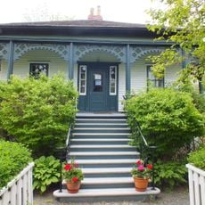
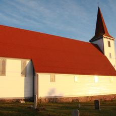
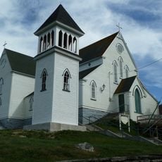
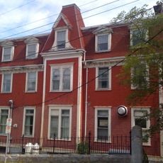
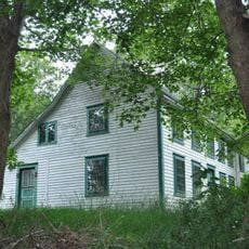
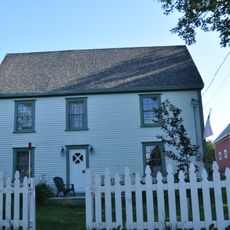
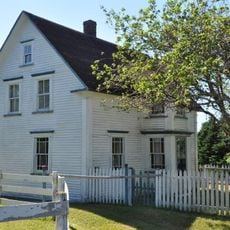
Conception Bay South is a town in Newfoundland and Labrador composed of different neighborhoods, each with its own character. Schools, shops, churches, and community centers form the backbone of daily life, alongside parks and recreational areas where families and neighbors gather.
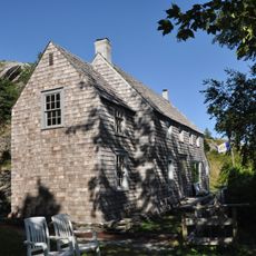
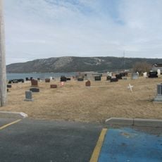
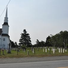
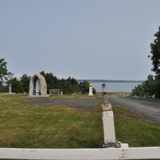
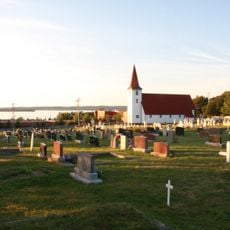
The town grew from a thriving fishing community whose heritage continues in local traditions and values. This background of maritime work and cooperation shaped the community's character and remains central to how residents understand their place.
The town has deep roots in fishing culture that residents continue to share through stories and traditions. These maritime connections shape how people see themselves and are celebrated during community gatherings and local events.
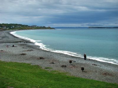
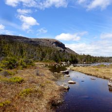
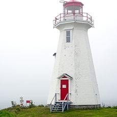
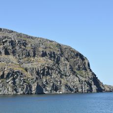
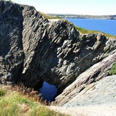
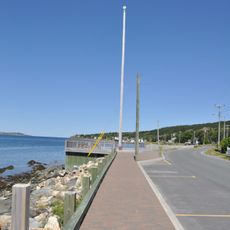
The town is walkable and easy to explore on foot, with friendly locals who make visitors feel welcome. Popular spots like Topsail Beach and Topsail Mountain are easily accessible and offer hiking, waterside relaxation, and scenic views.
The town is known by the motto 'Bright Town, Bright Future' and has notably milder weather with clearer skies compared to nearby areas. This combination of friendly spirit and more pleasant conditions makes it a surprisingly welcoming destination.
The community of curious travelers
AroundUs brings together thousands of curated places, local tips, and hidden gems, enriched daily by 60,000 contributors worldwide.