Gatineau Park, Protected conservation area in Quebec, Canada.
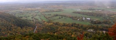
Gatineau Park is a protected area in southwestern Quebec that spreads across forested hills, several lakes, and valleys. The terrain sits in the foothills of the Laurentian Mountains and offers a dense network of trails for walking, cycling, and cross-country skiing through rolling landscape.
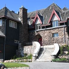
The area was established in 1938 as a conservation project to preserve forests and waterways near the capital. In the following decades, additional land was added and management passed to the national capital commission.
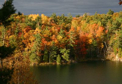
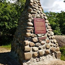
The park takes its name from the Gatineau River, which winds through the region and was important to Anishinaabe communities. Today, locals from the capital region hike the trails on weekends and enjoy the forested hills, which turn bright colors in autumn.
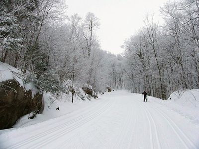
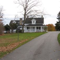
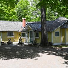
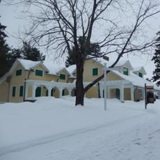
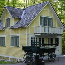
Several entrances lead into the area from surrounding communities, and visitor centers provide information about trails and activities. Paths range from easy walks to challenging climbs, and in winter some routes are groomed for snowshoeing and cross-country skiing.
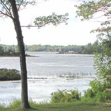
Pink Lake within the park owes its turquoise color to rare algae and organic deposits on the bottom. Despite the name, the water appears more blue-green than pink, which surprises many visitors standing at the shore for the first time.
The community of curious travelers
AroundUs brings together thousands of curated places, local tips, and hidden gems, enriched daily by 60,000 contributors worldwide.