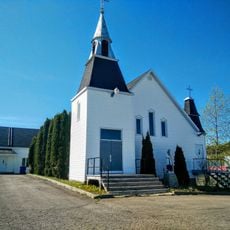
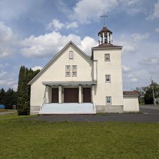
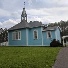
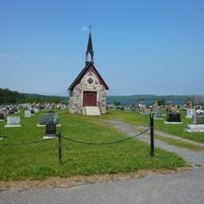
Vallée de la Matapédia, Valley in eastern Quebec, Canada
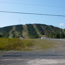
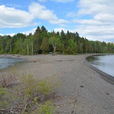
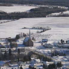
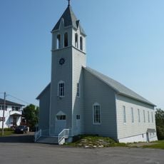
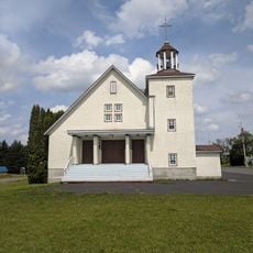
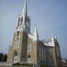
The Matapédia Valley is a long landscape that combines forested mountain slopes with agricultural land alongside a river of the same name. The Chic-Choc Mountains surround the valley on all sides and form the backdrop for this varied terrain.
European settlement of the valley began in 1833 when colonists arrived to establish themselves in the area. This arrival marked a turning point that transformed the valley's history and development.
The Mi'kmaq people have lived in this valley for centuries and continue to shape the region through their connection to the land and waterways. The name Matapédia comes from their language and reflects the many waterways that define the area.
The valley can be reached via Route 132 and the Canadian National Railway, which pass through the area as main transportation lines. These routes serve as useful reference points for navigation and access to different parts of the valley.
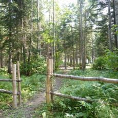
The valley contains numerous lakes scattered throughout the landscape and is covered by extensive forest land. The highest peaks in the area reach significant heights and shape the region's skyline.
The community of curious travelers
AroundUs brings together thousands of curated places, local tips, and hidden gems, enriched daily by 60,000 contributors worldwide.