
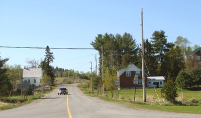
Plummer Additional, township municipality in Ontario, Canada
Location: Algoma District
Elevation above the sea: 242 m
Shares border with: Unorganized North Algoma District
Website: http://plummertownship.ca
GPS coordinates: 46.36670,-83.76670
Latest update: March 3, 2025 08:52
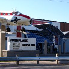
Canadian Bushplane Heritage Centre
45.4 km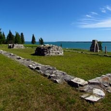
Fort St. Joseph
36.5 km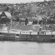
SS Russia
56.5 km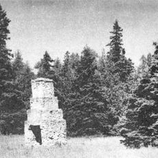
Fort Drummond
43.9 km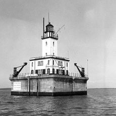
DeTour Reef Light
47.7 km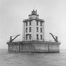
Martin Reef Light Station
58.4 km
Philetus S. Church House
32.3 km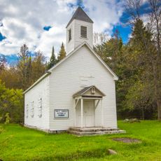
Church of Our Saviour, Friend of Children
34.6 km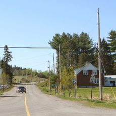
Rydal Bank Church
1.9 km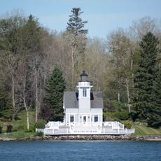
Round Island Light
34.7 km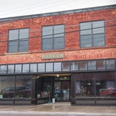
Lipsett Hardware Building
51.3 km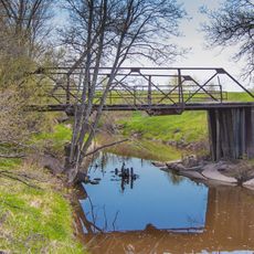
Parker Road–Charlotte River Bridge
40.2 km
St. Joseph's Island Migratory Bird Sanctuary
35.8 km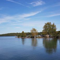
Drummond Island Historical Museum
38.4 km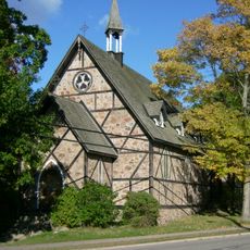
Bishop Fauquier Memorial Chapel
42.6 km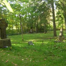
Shingwauk Memorial Cemetery
42.6 km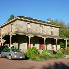
Upton
44.6 km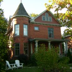
143 McGregor Avenue
44.6 km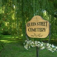
Queen Street Cemetery/Old Town Cemetery
44.1 km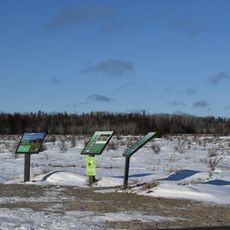
Maxton Plains
32.4 km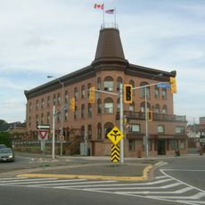
Algonquin Hotel
45.4 km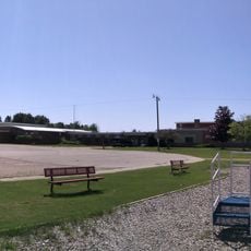
Detour Area School And Public Library
42.9 km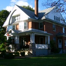
Eastbourne
44.7 km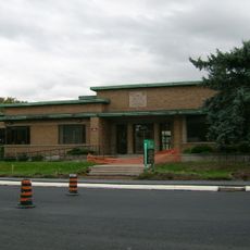
Forest Insect Laboratory
45.3 km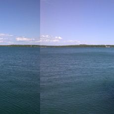
Drummond Island Ferry
42.9 km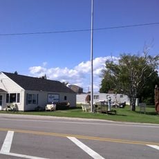
Detour Museum
42.9 km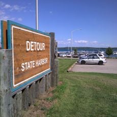
Detour State Harbor
42.2 km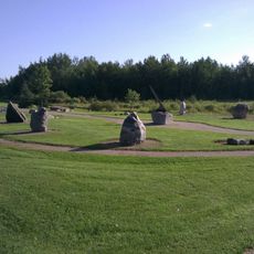
Natural Science Park
46 kmVisited this place? Tap the stars to rate it and share your experience / photos with the community! Try now! You can cancel it anytime.
Discover hidden gems everywhere you go!
From secret cafés to breathtaking viewpoints, skip the crowded tourist spots and find places that match your style. Our app makes it easy with voice search, smart filtering, route optimization, and insider tips from travelers worldwide. Download now for the complete mobile experience.

A unique approach to discovering new places❞
— Le Figaro
All the places worth exploring❞
— France Info
A tailor-made excursion in just a few clicks❞
— 20 Minutes