Enable Location

We need your location to show you interesting places around you

Discover nearby places

Find interesting locations and hidden gems around you

Precise directions

Get accurate directions and distances to places

Your location is never shared with other users. It's only used when you tap the location button.

Log in to your account

Start exploring — it's free

Trusted by 61,922 travelers worldwide

Continue with Google
Continue with Apple
or

We will send you a code to connect

By continuing, you accept our Terms and Conditions and our Privacy Policy

Check your inbox

We've sent a pincode in your inbox. Please enter the code below.

Algoma District, Administrative district in Ontario, Canada

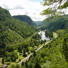
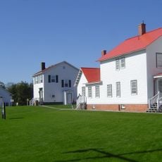
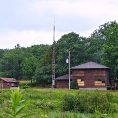
Algoma District is an administrative region in northeastern Ontario that covers a large area characterized by forests, numerous lakes, and shorelines along major waterways. The region includes the city of Sault Ste. Marie and encompasses varied landscapes stretching from water to inland terrain.

This territory was established in the mid-1800s as a judicial area designed to govern Canadian islands in the Great Lakes north of the French River. That early formation laid the foundation for the administrative structure we see today.

The name Algoma combines Algonquin linguistic elements, where 'Al' references the Algonquin people and 'goma' relates to bodies of water.

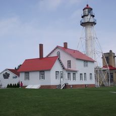
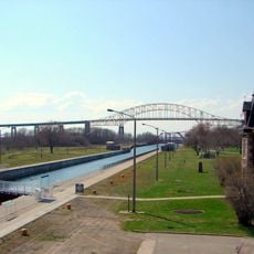
The region has international border crossings to the United States at Sault Ste. Marie, where visitors can cross between Canada and Michigan. This connection makes the area a travel hub for those exploring the Great Lakes region.

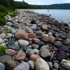
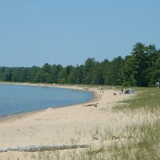
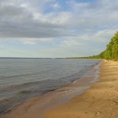
The district contains extensive shorelines along both Lake Superior and Lake Huron, supporting diverse ecological systems and water-based economic activities.

The community of curious travelers

AroundUs brings together thousands of curated places, local tips, and hidden gems, enriched daily by 60,000 contributors worldwide.

Start exploring
Location
Inception
1858
Capital city
Sault Ste. Marie
Shares border with
Thunder Bay District
GPS coordinates
48.00000,-84.50000
Latest update
December 20, 2025 14:05
« Algoma District - Administrative district in Ontario, Canada » is provided by Around Us (aroundus.com). Images and texts are derived from Wikimedia project under a Creative Commons license. You are allowed to copy, distribute, and modify copies of this page, under the conditions set by the license, as long as this note is clearly visible.

Discover hidden gems everywhere you go!

From secret cafés to breathtaking viewpoints, skip the crowded tourist spots and find places that match your style. Our app makes it easy with voice search, smart filtering, route optimization, and insider tips from travelers worldwide. Download now for the complete mobile experience.

Around Us App Screenshot

A unique approach to discovering new places

Le Figaro

All the places worth exploring

France Info

A tailor-made excursion in just a few clicks

20 Minutes

Around Us
Travel Guide & Maps
Download

Send to your phone

QR Code
1

Open the camera app on your mobile.

2

Point at the QR code with your camera. A notification will appear.

3

Tap the notification to open the link.