
Pont Roux, bridge in Saint-Christophe-d'Arthabaska, Quebec, Canada
Location: Saint-Christophe-d'Arthabaska
GPS coordinates: 46.00694,-71.89306
Latest update: March 11, 2025 16:11
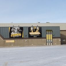
Colisée Desjardins
6.9 km
Sainte-Anne-du-Sault
27 km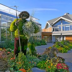
Parc Marie-Victorin
21.3 km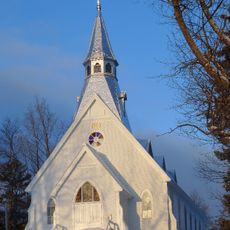
Holy Trinity Anglican Church
29.2 km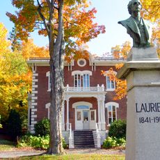
Musée Laurier
3.8 km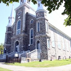
Église Saint-Christophe d'Arthabaska
3.5 km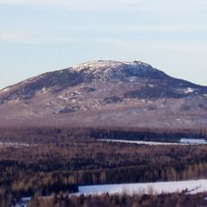
Mont-Ham Regional Park
31.2 km
Buckinghamshire
31.3 km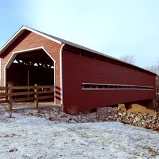
Pont Joseph-Édouard-Perrault
10.4 km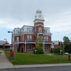
Maison Cormier
24.9 km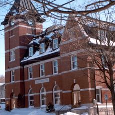
Hôtel des Postes
4 km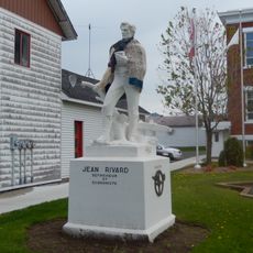
Monument Jean-Rivard
25.4 km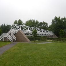
Passerelle Armand-Vaillancourt
25.1 km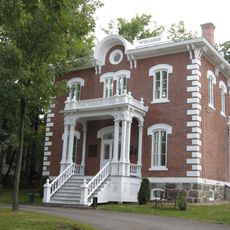
Wilfrid Laurier House
3.8 km
Maison Fleury
3.8 km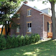
Maison Marc-Aurèle-De Foy-Suzor-Coté
4.3 km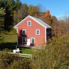
Moulin Denison
33.1 km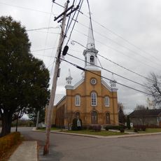
Daveluyville
28.4 km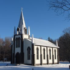
Église Saint-Paul de Sydenham Place
34.6 km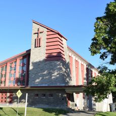
Église de la Sainte-Famille
8.1 km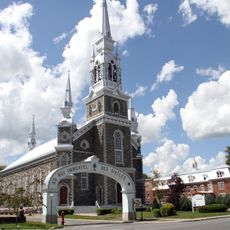
Site du patrimoine de l'Église-Sainte-Victoire
7.7 km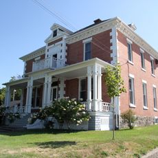
Site du patrimoine de l'Église-Saint-Christophe-d'Arthabaska
3.5 km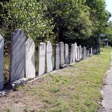
Parish of Saint-Christophe-d'Arthabaska cemetery
3.5 km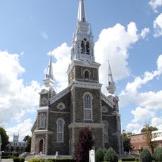
Église Sainte-Victoire
7.7 km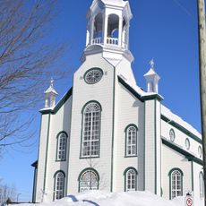
Église des Saints-Anges
22.2 km
Maison Houston
26.5 km
Site patrimonial de la Maison Marc-Aurèle-Plamondon
3.8 km
Maison Alfred-Paris
4.1 kmReviews
Visited this place? Tap the stars to rate it and share your experience / photos with the community! Try now! You can cancel it anytime.
Discover hidden gems everywhere you go!
From secret cafés to breathtaking viewpoints, skip the crowded tourist spots and find places that match your style. Our app makes it easy with voice search, smart filtering, route optimization, and insider tips from travelers worldwide. Download now for the complete mobile experience.

A unique approach to discovering new places❞
— Le Figaro
All the places worth exploring❞
— France Info
A tailor-made excursion in just a few clicks❞
— 20 Minutes