
Unterägeri, municipality in Switzerland
Location: Zug
Elevation above the sea: 727 m
Shares border with: Baar, Menzingen, Oberägeri, Sattel, Steinerberg, Walchwil, Zug
Website: http://unteraegeri.ch
GPS coordinates: 47.13861,8.58444
Latest update: March 13, 2025 11:03

Artilleriewerk Halsegg
5.8 km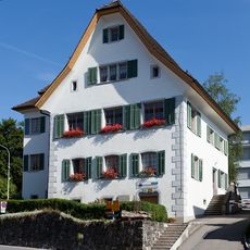
Zurlauben House
2.2 km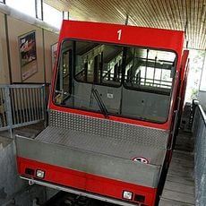
Zugerbergbahn funicular
4 km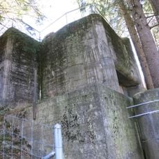
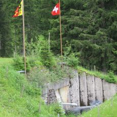
Sperrstelle Unterägeri
3.5 km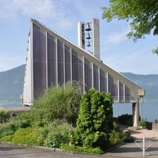
Reformierte Kirche
6.9 km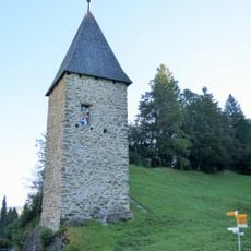
Letzi Tower
6.5 km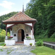
Morgarten, memorial with battle chapel
6.6 km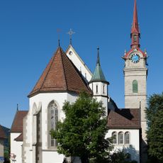
Pfarrkirche St. Peter und Paul (Oberägeri)
2.3 km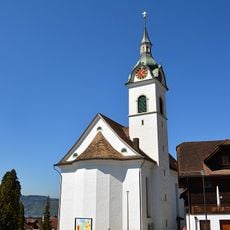
Katholische Kirche St. Johannes der Täufer
6.8 km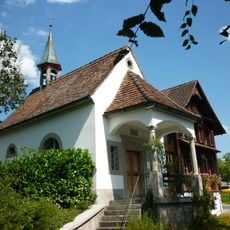
Holy Trinity chapel with hermitage
852 m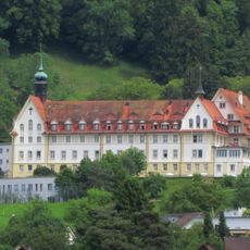
Oberwil, Franziskusheim (Altbau) mit Kirche und Refektorium
5.5 km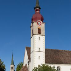
St. Mary's catholic church
43 m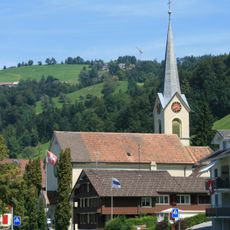
St. Vit Church
5.4 km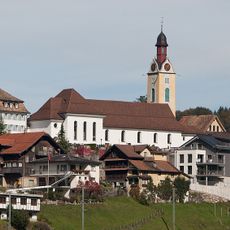
St. Peter and Paul Parish Church
7.3 km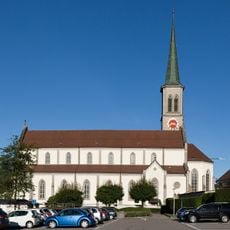
Holy Family catholic church
130 m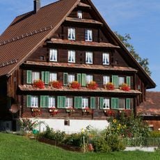
Farmhouse Wissenschwändi
1.5 km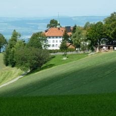
Capuchin convent with chapels Mariahilf and Oelberg, confessional house and inn
2.7 km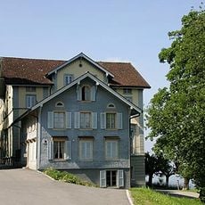
Former sanatoriums Felsenegg and Schönfels
4 km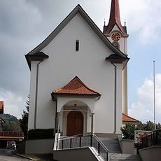
Kirche St. Wendelin
3.5 km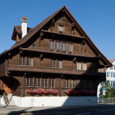
Former Prebend House
2.3 km
Medieval Letzinen
6.5 km
Rectory
7.3 km
Farmhouse Untere Lutischwand
2 km
Morgarten battle monument
5.6 km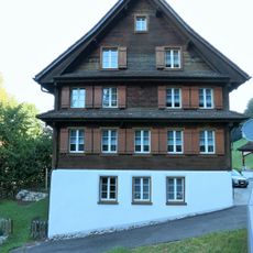
Weiermattli House
6.5 km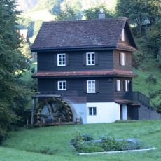
Sagemattli House, former wheelwright's shop
6.5 km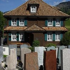
Old School House (Community Hall)
7.3 km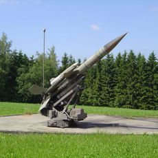
Guided missile site
2.2 kmReviews
Visited this place? Tap the stars to rate it and share your experience / photos with the community! Try now! You can cancel it anytime.
Discover hidden gems everywhere you go!
From secret cafés to breathtaking viewpoints, skip the crowded tourist spots and find places that match your style. Our app makes it easy with voice search, smart filtering, route optimization, and insider tips from travelers worldwide. Download now for the complete mobile experience.

A unique approach to discovering new places❞
— Le Figaro
All the places worth exploring❞
— France Info
A tailor-made excursion in just a few clicks❞
— 20 Minutes