
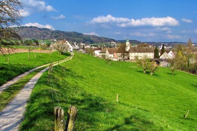
Unterengstringen, municipality in the canton of Zürich, Switzerland
Location: Dietikon District
Location: Zürich
Elevation above the sea: 416 m
Website: http://unterengstringen.ch
GPS coordinates: 47.41472,8.44972
Latest update: March 2, 2025 23:21

Festung Dietikon
3.6 km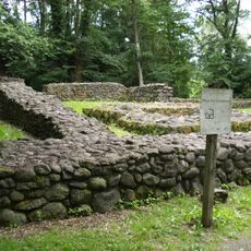
Ruins Schönenwerd
2.4 km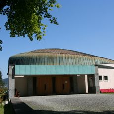
St. Josef
2.3 km
St. Mauritius
1 km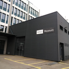
WAGI Museum Schlieren
1.8 km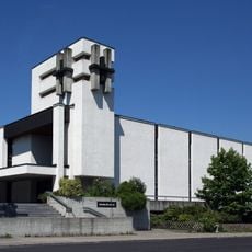
St. Josef (Dietikon)
3.3 km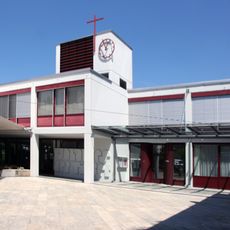
Saint John catholic church
3.1 km
Weiningen
1.3 km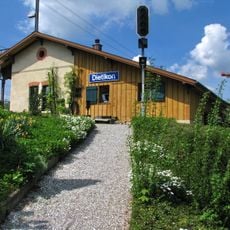
Guard house with waiting hall of the first station
3.5 km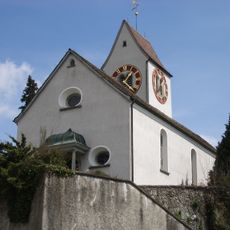
Reformed church with rectory
1.2 km
Gaswerk-Steg
1.3 km
Grien-Insel-Brücke (Kraftwerk Unterwasserkanal)
3.3 km
Geroldswil
3.1 km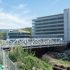
Karl-Heid-Strasse-Brücke (Kraftwerk Unterwasserkanal)
3.2 km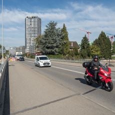
Oberwasserkanalbrücke (Kraftwerk Oberwasserkanal)
3.2 km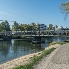
Kieswerke Hardwald-Brücke
2.1 km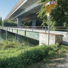
Glanzenberg-Steg
2.7 km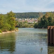
Reppisch-Spitz-Steg (Kraftwerk Unterwasserkanal)
3.4 km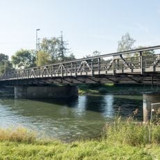
Limmatbrücke Kloster Fahr (Ueberlandstrasse)
1.8 km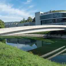
EWZ-Insel-Brücke (Kraftwerk Unterwasserkanal)
3.2 km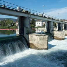
Dotierkraftwerk Dietikon-Steg
3.2 km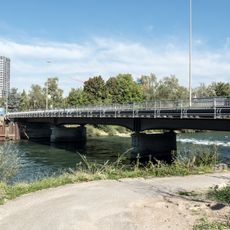
Limmatbrücke (Ueberlandstrasse)
3.1 km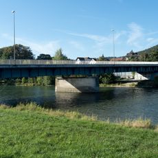
Weiningerstrasse-Brücke
570 m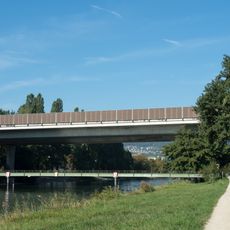
A3/A4 Autobahnbrücken
2.7 km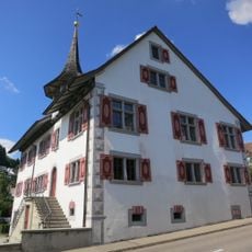
Schloss, ehemaliges Schulhaus
1.3 km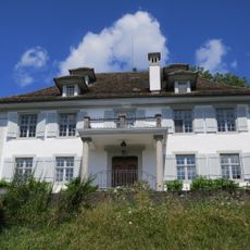
Sparrenberg country house with outbuildings
317 m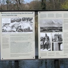
Unterengstringen, neuzeitliche Schanzen
3.1 km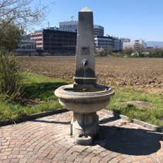
Fountain Gasometerstrasse
1.9 kmVisited this place? Tap the stars to rate it and share your experience / photos with the community! Try now! You can cancel it anytime.
Discover hidden gems everywhere you go!
From secret cafés to breathtaking viewpoints, skip the crowded tourist spots and find places that match your style. Our app makes it easy with voice search, smart filtering, route optimization, and insider tips from travelers worldwide. Download now for the complete mobile experience.

A unique approach to discovering new places❞
— Le Figaro
All the places worth exploring❞
— France Info
A tailor-made excursion in just a few clicks❞
— 20 Minutes