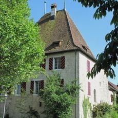
Lake Inkwil, Paleolithic open-air station / Neolithic and Bronze Age lakeside settlement, Archaeological lake site in Bolken, Switzerland.
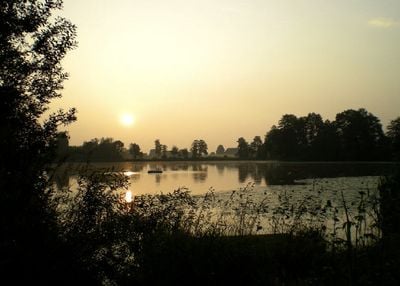
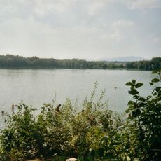
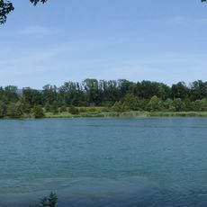
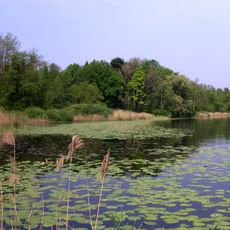
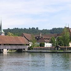
Lake Inkwil is a shallow glacial lake in Bolken featuring two small islands surrounded by reed-lined shores extending about 500 meters in length. The lake connects to the Aare River and hosts several fish species, with defined fishing zones and swimming areas along its banks.
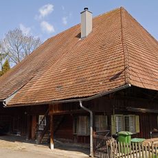
The lake formed about 13,000 years ago when the Rhone Glacier retreated, leaving behind a depression that filled with water. Archaeological layers on its islands preserve evidence of farming communities that lived here from around 5000 to 800 BC, spanning the Neolithic and Bronze Age periods.
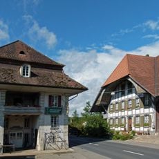
The lake's name reflects the early communities who settled here during the Neolithic period, and the shoreline still echoes their long presence in the landscape. Walking around the water, you can sense the continuous connection between past inhabitants and the place where they made their homes.
The shoreline offers clear designated zones for swimming and fishing, with fishing requiring a valid local license. Wear sturdy shoes as some sections have muddy areas, and plan your visit during warmer months for the most enjoyable experience.
A wooden sword from the Bronze Age, roughly 3,000 years old, was discovered in the lake's depths and reveals the craftsmanship of its ancient inhabitants. This artifact and other finds are kept at the Museum Blumenstein in Solothurn, offering glimpses into the daily lives of the people who settled here.
The community of curious travelers
AroundUs brings together thousands of curated places, local tips, and hidden gems, enriched daily by 60,000 contributors worldwide.