Sperrstelle Gebenstorf, Military fortification in Gebenstorf, Switzerland
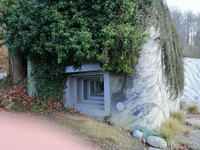
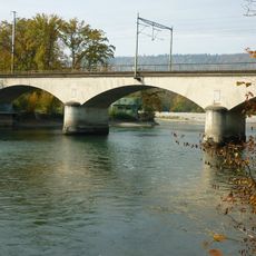
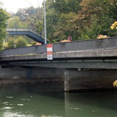
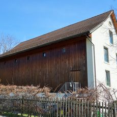
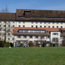
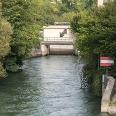
The Sperrstelle Gebenstorf is a military fortification with multiple bunkers and observation posts arranged along the Limmat river valley. The complex includes infantry shelters, artillery positions, and tank barriers built into hilly terrain with sightlines across the surrounding landscape.
The fortification was built between 1939 and 1940 as part of Switzerland's national defense strategy against potential invasion. It was designed to block the Reuss valley and prevent access toward the Gotthard region.
The site shows how Switzerland sought to protect itself during World War II through built defenses that remain visible today. These structures reflect the period's concerns about a potential attack and reliance on fortifications as a deterrent.
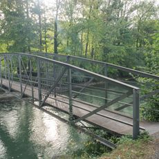
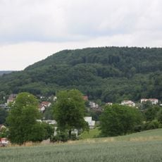
The site is accessible by public transportation to Gebenstorf, with walking paths connecting different sections of the complex. Visitors should expect uneven ground and sloped terrain, making sturdy footwear advisable.
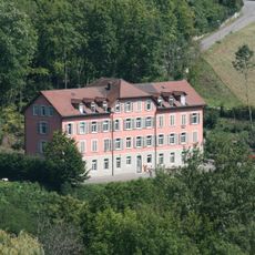
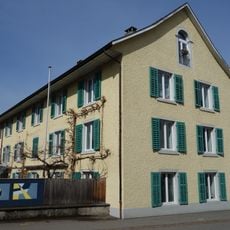
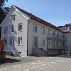
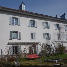
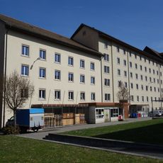
Around 250 Polish soldiers lived on the site from 1940 to 1943, working on road construction and agricultural projects in the region. Their presence reveals how Switzerland managed labor needs during the war through international cooperation.
GPS coordinates: 47.49500,8.24185
Latest update: December 14, 2025 13:06
Former Kunz spinning mill
1.7 km
Reformed parish church and rectory
958 m
Railway bridge Turgi-Untersiggenthal
523 m
Eisenbahnbrücke Windisch
575 m
Evangelical reformed church
1 km
Reformed Church
1.4 km
Holzbrücke Ennetturgi
782 m
Stroppel "Girls' Home"
1.2 km
Reformed rectory Gebenstorf
1.4 km
Kosthaus Langhaus
832 m
Former Bebié administration building
860 m
Kosthaus
769 m
Kraftwerk Stroppel-Wehrbrücke (Stroppelkanal)
808 m
Limmatbrücke Turgi (Schöneggstrasse)
1.3 km
Stroppelinsel-Brücke (Stroppelkanal)
1.1 km
Former Kappeler-Bebié cotton mill
979 m
St. Ludwig chapel
1.2 km
Former cotton warehouse of the spinning mill
823 m
Former Kappeler administration building
1 km
Kraftwerk Stroppel-Steg (Stroppelkanal)
867 m
Old schoolhouse
1.3 km
Kraftwerk Turgi Insel-Brücke (Kraftwerkkanal)
910 m
Horn of Gebenstorf, rampart (chronology not known)
1.1 km
"Meisterhaus" Stroppel
997 m
Limmatspitz-Steg (Kraftwerk Gebenstorf Unterwasserkanal)
647 m
Aubrücke (Steigstrasse)
761 m
Catholic parish church
1.1 km
Church building
1 kmVisited this place? Tap the stars to rate it and share your experience / photos with the community! Try now! You can cancel it anytime.
Discover hidden gems everywhere you go!
From secret cafés to breathtaking viewpoints, skip the crowded tourist spots and find places that match your style. Our app makes it easy with voice search, smart filtering, route optimization, and insider tips from travelers worldwide. Download now for the complete mobile experience.
A unique approach to discovering new places❞
— Le Figaro
All the places worth exploring❞
— France Info
A tailor-made excursion in just a few clicks❞
— 20 Minutes