
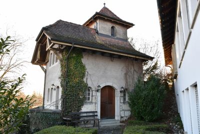
Former transformer house, building in Aarberg in the canton of Bern, Switzerland
Location: Aarberg
Address: 37a 37a Stadtplatz 3270 Aarberg 3270 Aarberg
GPS coordinates: 47.04319,7.27534
Latest update: September 23, 2025 10:51

Lobsigensee
2.1 km
Aarberg Castle
73 m
Covered wooden bridge
101 m
Former farmhouse (1837)
998 m
Former Schoolhouse (1810)
2 km
Rathaus
178 m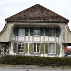
Stöckli (1850)
879 m
Fire brigade depot
30 m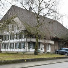
Farmhouse (1858)
661 m
Parish hall
30 m
Reformed church with retory
2.4 km
Farmhouse (1839)
1.3 km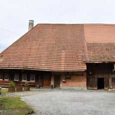
Former farmhouse (1696)
1 km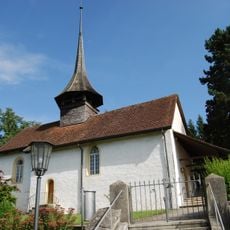
Reformed church with parsonage
1 km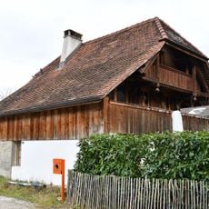
Stöckli (around 1830)
1 km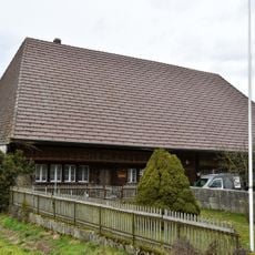
Former farmhouse (around 1800)
1.7 km
Former bakehouse
978 m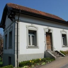
Former municipal administrator's office
1.1 km
Garden pavilion
34 m
Liechtihaus
216 m
Upper Fountain
120 m
Former farmhouse (1783)
1.3 km
Sugar factory, old building
591 m
Community bakehouse
1.1 km
Secondary school building with gymnasium
365 m
Rectory (1778/79)
1.9 km
Lower Fountain
183 m
Rectory
2.9 kmReviews
Visited this place? Tap the stars to rate it and share your experience / photos with the community! Try now! You can cancel it anytime.
Discover hidden gems everywhere you go!
From secret cafés to breathtaking viewpoints, skip the crowded tourist spots and find places that match your style. Our app makes it easy with voice search, smart filtering, route optimization, and insider tips from travelers worldwide. Download now for the complete mobile experience.

A unique approach to discovering new places❞
— Le Figaro
All the places worth exploring❞
— France Info
A tailor-made excursion in just a few clicks❞
— 20 Minutes