
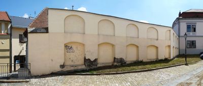
Separační zeď, kulturní památka České republiky na území obce Kroměříž
Location: Kroměříž
Part of: City walls of Kroměříž
GPS coordinates: 49.29749,17.39660
Latest update: March 9, 2025 03:55
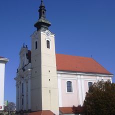
Church of Assumption of Virgin Mary
31 m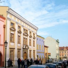
Jewish town hall in Kroměřiž
97 m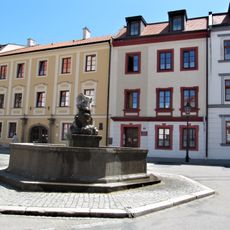
Fountain in Kroměříž, Riegrovo náměstí
87 m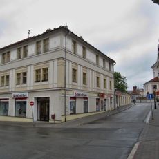
Volšovský dům
113 m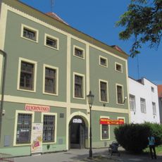
Riegrovo náměstí
71 m
Moravcova 261
81 m
Riegrovo náměstí 158
100 m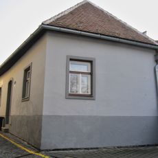
Tylova 2
14 m
Vodní 88
129 m
Vodní 92
113 m
Moravcova 260
90 m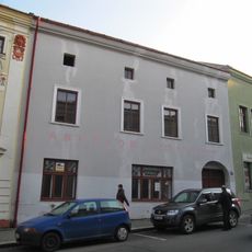
Moravcova 248
71 m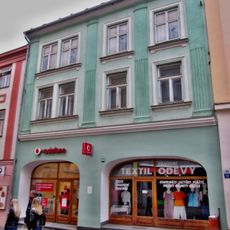
Měšťanský dům
110 m
Křižná 178
120 m
Křižná 169
134 m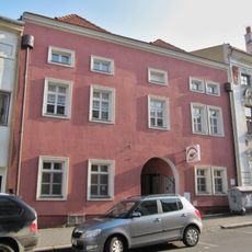
Moravcova 250
92 m
Vodní 91
114 m
Moravcova 258
117 m
Moravcova 253
118 m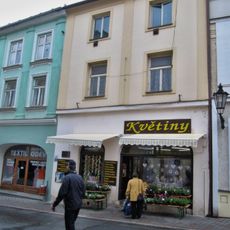
Vodní 94
110 m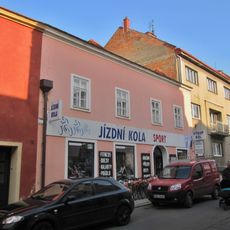
Křižná 168
128 m
Moravcova 247
57 m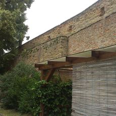
City walls of Kroměříž
108 m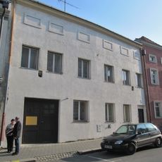
Moravcova 252
104 m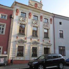
Moravcova 249
82 m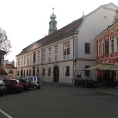
Emeritní domy s kaplí
30 m
Vodní 87
133 m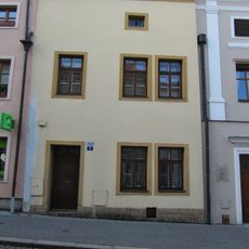
Moravcova 262
74 mReviews
Visited this place? Tap the stars to rate it and share your experience / photos with the community! Try now! You can cancel it anytime.
Discover hidden gems everywhere you go!
From secret cafés to breathtaking viewpoints, skip the crowded tourist spots and find places that match your style. Our app makes it easy with voice search, smart filtering, route optimization, and insider tips from travelers worldwide. Download now for the complete mobile experience.

A unique approach to discovering new places❞
— Le Figaro
All the places worth exploring❞
— France Info
A tailor-made excursion in just a few clicks❞
— 20 Minutes