Rathmannsdorf

Log in to your account

AroundUs is a community-driven map of interesting places, built by curious explorers like you. It grows with every review, story, and photo you share.
Connect to save your favorite spots, contribute locations, and create personalized routes.
By continuing, you accept our Terms and Conditions and our Privacy Policy
Add to collection
Map
Suggest a change
Share

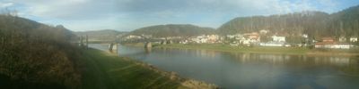
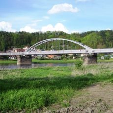
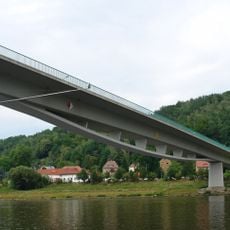
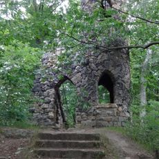
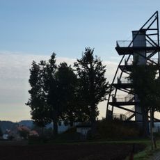
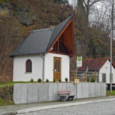
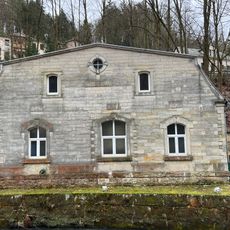
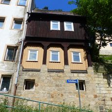
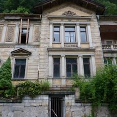
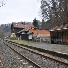
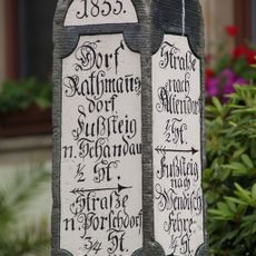
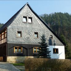
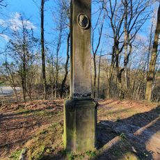
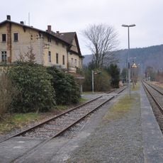
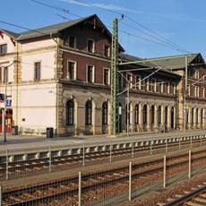
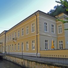
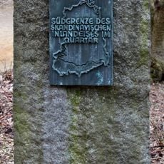
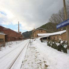
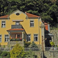
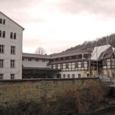
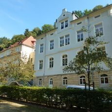
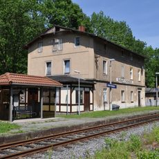
Rathmannsdorf, village in Germany

Location: Verwaltungsgemeinschaft Bad Schandau

Location: Sächsische Schweiz-Osterzgebirge

Elevation above the sea: 225 m

Shares border with: Bad Schandau, Sebnitz

Website: https://rathmannsdorf.de

GPS coordinates: 50.93333,14.13333

Latest update: March 3, 2025 01:14

Around this place
Show the full map
Kirnitzschtal Tramway
Germany

Kirnitzschtal Tramway

2.2 km
Carola Bridge (Carolabrücke)
Germany

Carola Bridge (Carolabrücke)

1.1 km
Elbebrücke Bad Schandau
Germany

Elbebrücke Bad Schandau

1.3 km
Goßdorf-Kohlmühle railway station
Germany

Goßdorf-Kohlmühle railway station

2.3 km
Schandauer Schlossberg
Germany

Schandauer Schlossberg

2.1 km
Nationalparkzentrum Sächsische Schweiz
Germany

Nationalparkzentrum Sächsische Schweiz

2 km
Cemetery in Bad Schandau
Germany

Cemetery in Bad Schandau

1.7 km
Aussichtsturm Rathmannsdorf
Germany

Aussichtsturm Rathmannsdorf

1.1 km
Gedächtniskapelle
Germany

Gedächtniskapelle

672 m
Wasserwerk Bad Schandau
Germany

Wasserwerk Bad Schandau

2.4 km
Wohnhaus (Umgebinde) Schloßberg 12
Germany

Wohnhaus (Umgebinde) Schloßberg 12

2.2 km
Villa mit Einfriedung Kirnitzschtalstraße 83
Germany

Villa mit Einfriedung Kirnitzschtalstraße 83

2.3 km
Am Bahnhof 58
Germany

Am Bahnhof 58

1.2 km
Wegestein Rathmannsdorf
Germany

Wegestein Rathmannsdorf

848 m
Kurpark Bad Schandau
Germany

Kurpark Bad Schandau

2.2 km
Reste einer mittelalterlichen Burganlage und künstliche Ruine Schloßberg -
Germany

Reste einer mittelalterlichen Burganlage und künstliche Ruine Schloßberg -

2.1 km
Hohnsteiner Straße 20
Germany

Hohnsteiner Straße 20

677 m
Schiller monument and grotto at Schillerpromenade
Germany

Schiller monument and grotto at Schillerpromenade

2.2 km
Nationalparkzentrum Sächsische Schweiz
Germany

Nationalparkzentrum Sächsische Schweiz

2 km
Eisenbahnstrecke Bad Schandau -Sebnitz -Neustadt i. Sa. (Sachgesamtheit); Bahnhof Rathmannsdorf Wendischfähre
Germany

Eisenbahnstrecke Bad Schandau -Sebnitz -Neustadt i. Sa. (Sachgesamtheit); Bahnhof Rathmannsdorf Wendischfähre

726 m
Eisenbahnstrecke Bad Schandau -Sebnitz -Neustadt i. Sa. (Sachgesamtheit); Bahnhof Bad Schandau Bad Schandau
Germany

Eisenbahnstrecke Bad Schandau -Sebnitz -Neustadt i. Sa. (Sachgesamtheit); Bahnhof Bad Schandau Bad Schandau

1.6 km
Kurbadgebäude, Trinkhalle mit Monumentalmosaik, vor dem Gebäude Freiskulptur der Waldnymphe sowie Kurgarten mit Denkmal für die Gefallenen des Ersten Weltkrieges Kirnitzschtalstraße 6
Germany

Kurbadgebäude, Trinkhalle mit Monumentalmosaik, vor dem Gebäude Freiskulptur der Waldnymphe sowie Kurgarten mit Denkmal für die Gefallenen des Ersten Weltkrieges Kirnitzschtalstraße 6

2.2 km
Eiszeit-Markierungsstein
Germany

Eiszeit-Markierungsstein

2.2 km
Sachgesamtheitsbestandteil der Sachgesamtheit Eisenbahnstrecke Bad Schandau–Sebnitz–Neustadt i. Sa., OT Kohlmühle, mit folgenden Einzeldenkmalen: Empfangsgebäude, Nebengebäude und Eisenbahnerwohnhaus (siehe Einzeldenkmalliste - Obj. 09254215)
Germany

Sachgesamtheitsbestandteil der Sachgesamtheit Eisenbahnstrecke Bad Schandau–Sebnitz–Neustadt i. Sa., OT Kohlmühle, mit folgenden Einzeldenkmalen: Empfangsgebäude, Nebengebäude und Eisenbahnerwohnhaus (siehe Einzeldenkmalliste - Obj. 09254215)

1.9 km
Wohnhaus in offener Bebauung und Einfriedung Kirnitzschtalstraße 73
Germany

Wohnhaus in offener Bebauung und Einfriedung Kirnitzschtalstraße 73

2.2 km
Röslersche Papierfabrik (ehem.) Prossen
Germany

Röslersche Papierfabrik (ehem.) Prossen

121 m
Schulgebäude in offener Bebauung Badallee 8
Germany

Schulgebäude in offener Bebauung Badallee 8

2.3 km
Eisenbahnstrecke Bad Schandau -Sebnitz -Neustadt i. Sa. (Sachgesamtheit); Bahnhof Goßdorf-Kohlmühle Kohlmühle (Hohnstein)
Germany

Eisenbahnstrecke Bad Schandau -Sebnitz -Neustadt i. Sa. (Sachgesamtheit); Bahnhof Goßdorf-Kohlmühle Kohlmühle (Hohnstein)

1.9 km
Show the full map

Reviews

Visited this place? Tap the stars to rate it and share your experience / photos with the community! Try now! You can cancel it anytime.

« Rathmannsdorf: village in Germany » is provided by Around Us (aroundus.com). Images and texts are derived from Wikimedia project under a Creative Commons license. You are allowed to copy, distribute, and modify copies of this page, under the conditions set by the license, as long as this note is clearly visible.

Discover hidden gems everywhere you go!

From secret cafés to breathtaking viewpoints, skip the crowded tourist spots and find places that match your style. Our app makes it easy with voice search, smart filtering, route optimization, and insider tips from travelers worldwide. Download now for the complete mobile experience.

Around Us App Screenshot

A unique approach to discovering new places

Le Figaro

All the places worth exploring

France Info

A tailor-made excursion in just a few clicks

20 Minutes