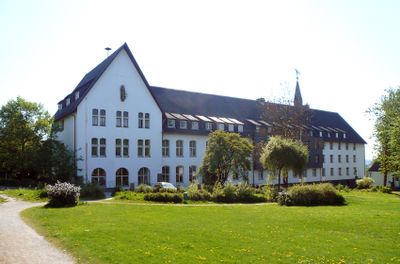
Neunkirchen-Seelscheid, Municipality in Rhein-Sieg District, Germany.
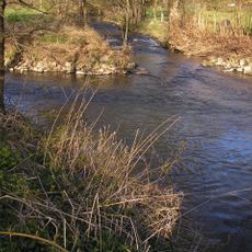
Neunkirchen-Seelscheid is a municipality set in rolling hills and green valleys with small villages spread across roughly 50 square kilometers. The landscape is shaped by the Naafbach and Bröl rivers, which flow through forests and meadows and define the region's character.
The region has been inhabited since prehistoric times, with its first written record appearing in 1178, indicating well-established communities. The current form took shape in 1969 when two separate municipalities, Neunkirchen and Seelscheid, merged together.
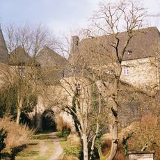
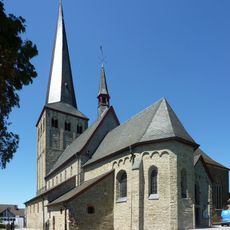
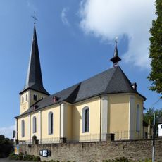
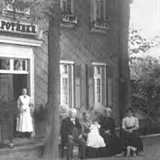
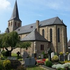
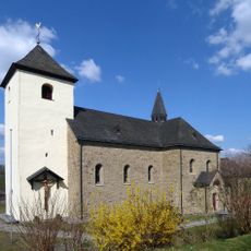
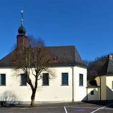
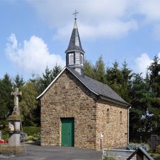
The names reflect early settlements and the role of churches in community life, while residents maintain ties to traditional crafts and rural farming practices. Local festivals and civic associations form the backbone of how people gather and celebrate throughout the year.
The municipality is easily accessible by road, located roughly 28 kilometers from Cologne and 127 kilometers from Frankfurt, making it a good base for day trips. The gentle landscape invites walking and cycling, especially along the river routes and through forested areas.
The Bergisches Land, to which this place belongs, was historically a center of textile production and metalwork, traditions that continue today in small local businesses. Visitors often discover hidden workshops and small manufactories still operating by traditional methods.
The community of curious travelers
AroundUs brings together thousands of curated places, local tips, and hidden gems, enriched daily by 60,000 contributors worldwide.