
Zorneding, municipality of Germany near the city of Munich
Location: Ebersberg
Elevation above the sea: 555 m
Shares border with: Eglhartinger Forst, Vaterstetten, Grasbrunn, Oberpframmern, Moosach, Kirchseeon
Website: http://zorneding.de
GPS coordinates: 48.08333,11.83333
Latest update: March 7, 2025 05:21
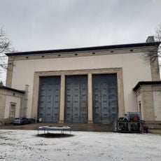
Staatsatelier Thorak
4.1 km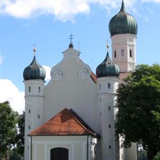
St. Ottilia
4.5 km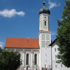
St. Martin
748 m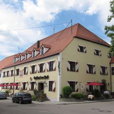
Anton-Grandauer-Straße 9
807 m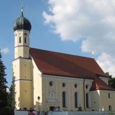
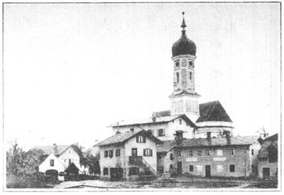
St. Georg
1.3 km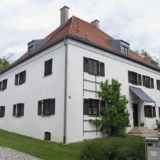
Pfarrhaus (Zorneding)
772 m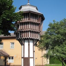
Taubenkobel der ehemaligen Brauerei
2 km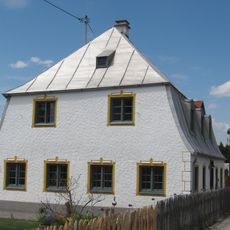
Bucher Straße 22
727 m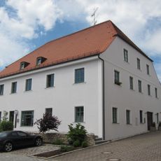
Anton-Grandauer-Straße 11
836 m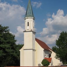
Hl. Kreuzerhöhung
1.6 km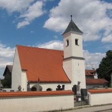
Katholische Filialkirche St. Korbinian, ehemals St. Magdalena
4.5 km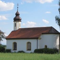
Feldkapelle
3 km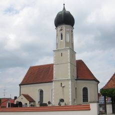
St. Peter
2.9 km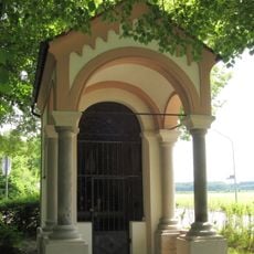
Wegkapelle St. Marien
750 m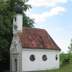
Kapelle St. Antonius
980 m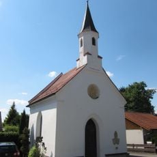
Kapelle
2.4 km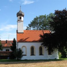
Ehemalige Filialkirche, jetzt Kapelle St. Ulrich
4.3 km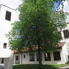
Christophoruskirche
305 m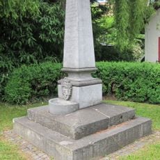
Denkmal zur Erinnerung an die Einrichtung der Zornedinger Wasserleitung
696 m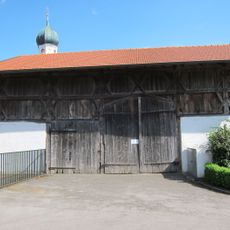
Stadel
1.4 km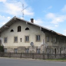
Ehemaliger Bauernhof
1.1 km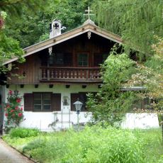
Wohnhaus
3.6 km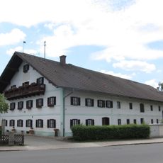
Ehemaliger Bauernhof
782 m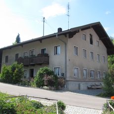
Ehemaliges Bauernhaus
1.3 km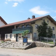
Ehemaliges Bauernhaus
264 m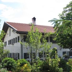
Ehemaliger Bauernhof
359 m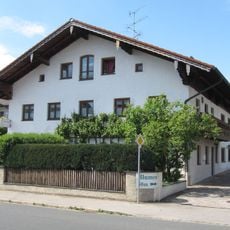
Ehemaliges Bauernhaus
545 m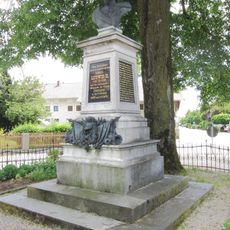
Denkmal für König Ludwig II.
685 mVisited this place? Tap the stars to rate it and share your experience / photos with the community! Try now! You can cancel it anytime.
Discover hidden gems everywhere you go!
From secret cafés to breathtaking viewpoints, skip the crowded tourist spots and find places that match your style. Our app makes it easy with voice search, smart filtering, route optimization, and insider tips from travelers worldwide. Download now for the complete mobile experience.

A unique approach to discovering new places❞
— Le Figaro
All the places worth exploring❞
— France Info
A tailor-made excursion in just a few clicks❞
— 20 Minutes