
Ammerndorf, market municipality in Germany
Location: Fürth
Elevation above the sea: 316 m
Website: http://ammerndorf.de
GPS coordinates: 49.42083,10.85139
Latest update: March 20, 2025 10:41
St. Johannes der Täufer
3.2 km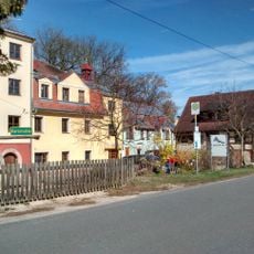
Kernmühle (Roßtal)
1.6 km
Schloss Roßtal
3.5 km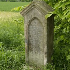
Marter bei Steinbach (Cadolzburg)
2.5 km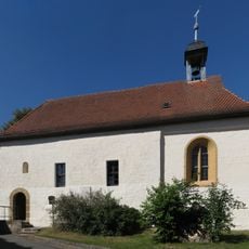
St. Jakobus und St. Ägidius
1.7 km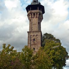
Cadolzburg Observation Tower
3.9 km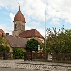
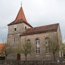
St. Peter und Paul
106 m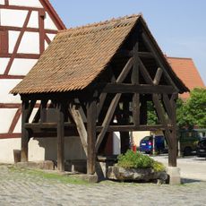
Brunnen auf dem Marktplatz
3.5 km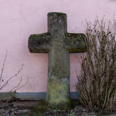
Wegkreuz
3.4 km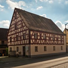
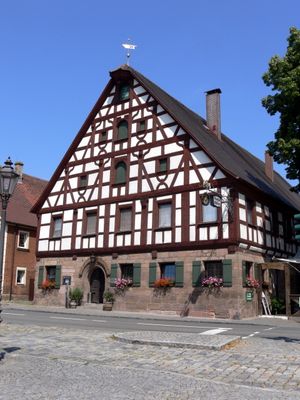
Wohnhaus
60 m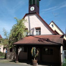
Ehemalige Schmiede
3.4 km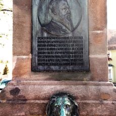
Brunnen, Denkmal für den Bahnbau im Biberttal
22 m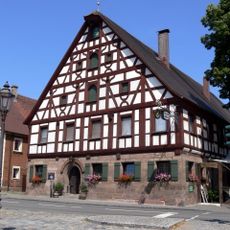
Marktplatz Ammerndorf
19 m
Scheune
74 m
Ammerndorf station building
207 m
Steinkreuz in Weinzierlein
3 km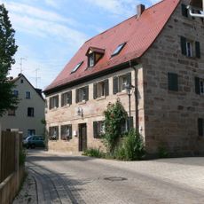
Schulstraße 12
3.5 km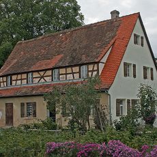
Schwalbenhof 2 (Roßtal)
3.3 km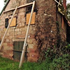
Sommerkellerhaus
444 m
Sogenannte Schleifmühle
3 km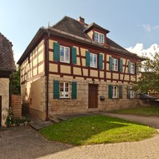
Pfarrhaus
127 m
Weiherkette nördlich Weinzierlein
2.9 km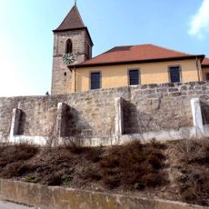
Friedhofsmauer Kirchbergstraße 6 in Großhabersdorf
2.4 km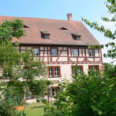
Marktplatz 4
3.5 km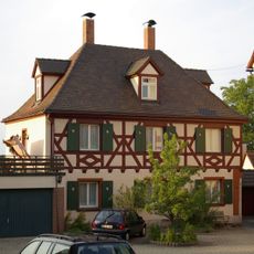
Marktplatz 3
3.5 km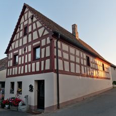
Ehemaliges Gasthaus
3.2 km
Ehemaliges Wohnhaus und Amtssitz des Richters
3.5 km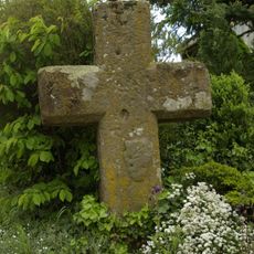
Steinkreuz in Neuses
1 kmReviews
Visited this place? Tap the stars to rate it and share your experience / photos with the community! Try now! You can cancel it anytime.
Discover hidden gems everywhere you go!
From secret cafés to breathtaking viewpoints, skip the crowded tourist spots and find places that match your style. Our app makes it easy with voice search, smart filtering, route optimization, and insider tips from travelers worldwide. Download now for the complete mobile experience.

A unique approach to discovering new places❞
— Le Figaro
All the places worth exploring❞
— France Info
A tailor-made excursion in just a few clicks❞
— 20 Minutes