
Furth, municipality of Germany
Location: Landshut
Elevation above the sea: 429 m
Part of: Verwaltungsgemeinschaft Furth
Shares border with: Weihmichl, Ergolding
Website: http://furth-bei-landshut.de
GPS coordinates: 48.60000,12.01667
Latest update: March 4, 2025 01:34
St. Stephan (Attenhausen)
4.3 km
St. Othmar (Pfettrach)
5.3 km
Mariä Himmelfahrt (Pörndorf)
4.6 km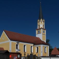
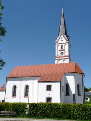
St. Michael
1.9 km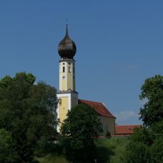
Katholische Filialkirche St. Katharina von Alexandrien
3.5 km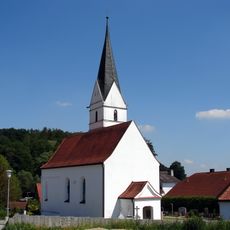
Sankt Johannes (Niedersüßbach)
3.7 km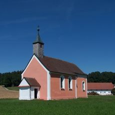
Kirche Sankt Nikolaus Geberskirchen
3.9 km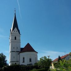
Sankt Johannes
3.7 km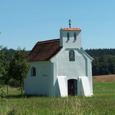
Katholische Kirche Johannes Nepomuk
2.7 km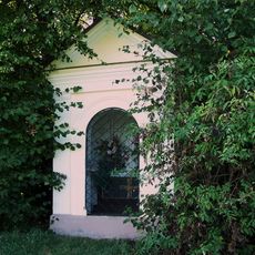
Feldkapelle Fatima
2 km
Katholische Kirche Gallus
4.4 km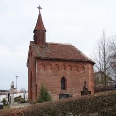
Friedhofskapelle
2.4 km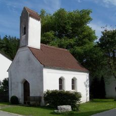
Katholische Marienkapelle
2.7 km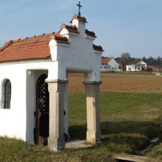
Wegkapelle
360 m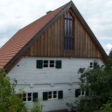
Ehemaliges Hirtenhaus
2.1 km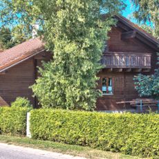
Mittertennhaus
2.6 km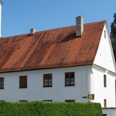
Pfarrhof mit Stadel
2.6 km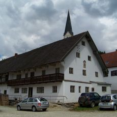
Wohnstallhaus eines Dreiseithofs
2 km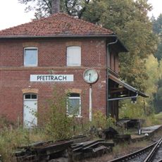
Alter Bahnhof Pfettrach mit Nebengebäuden
4.6 km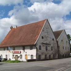
Doppelfirstanlage
2.1 km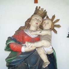
Rannertshofen Madonnenfigur
1.8 km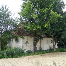
Ehemaliger Pfarrhof mit Wohnhaus
2 km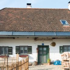
Bauernhaus
179 m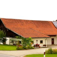
Wohnstallhaus eines Hakenhofs
1.5 km
Ehemaliger Pfarrhof
1.9 km
Wohnstallhaus eines Dreiseithofs
4.2 km
Wohnhaus
5.4 km
Pfarrkirche St. Peter und Paul
5.3 kmReviews
Visited this place? Tap the stars to rate it and share your experience / photos with the community! Try now! You can cancel it anytime.
Discover hidden gems everywhere you go!
From secret cafés to breathtaking viewpoints, skip the crowded tourist spots and find places that match your style. Our app makes it easy with voice search, smart filtering, route optimization, and insider tips from travelers worldwide. Download now for the complete mobile experience.

A unique approach to discovering new places❞
— Le Figaro
All the places worth exploring❞
— France Info
A tailor-made excursion in just a few clicks❞
— 20 Minutes