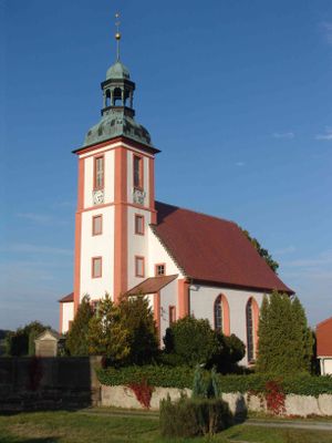
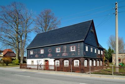
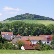
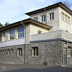
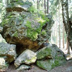
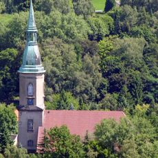
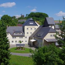
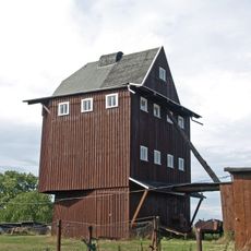
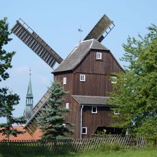
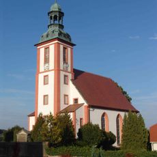
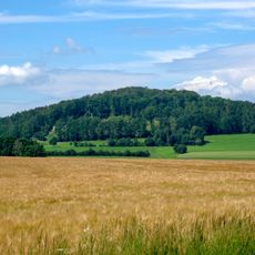
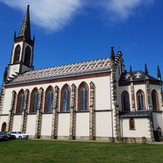
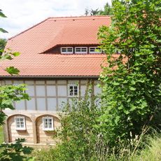
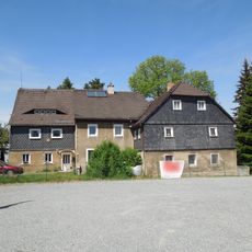
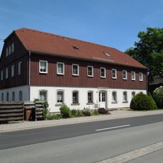
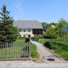
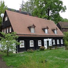
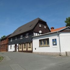
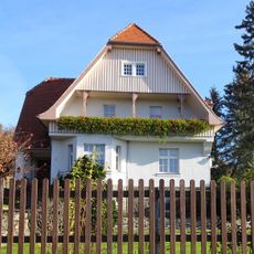
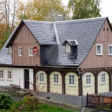
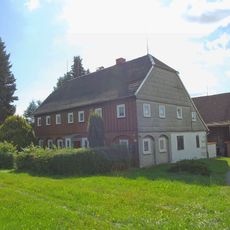
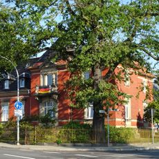
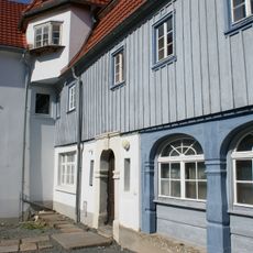
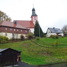
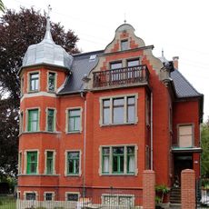
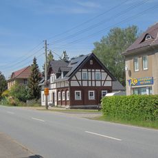
Leutersdorf, municipality of Germany
Location: Görlitz
Elevation above the sea: 392 m
Shares border with: Varnsdorf, Seifhennersdorf, Ebersbach-Neugersdorf
Website: https://leutersdorf.de
GPS coordinates: 50.95556,14.65278
Latest update: May 23, 2025 22:14
Oberoderwitzer Spitzberg
2.7 km
Großer Stein (Leutersdorf)
1.6 km
Silberteichbaude
2.8 km
Weißer Stein
3.3 km
Kirche Oberoderwitz
3.8 km
Bertholdmühle Oberoderwitz
3 km
Hetzwalder Windmühle
2.5 km
Berndtmühle Oberoderwitz
4.2 km
Nikolaikirche Spitzkunnersdorf
2.7 km
Seifenteich
1.9 km
Wilhelmshöhe
2.8 km
Forstenberg
3.2 km
Katholische Pfarrkirche Mariä Himmelfahrt Leutersdorf
930 m
Hintere Dorfstraße 14a
4.2 km
Hauptstraße 47
3.7 km
Hauptstraße 99
4.1 km
Am Dorfbach 15
4 km
An der Läuterau 23
3.8 km
Am Dorfbach 25
4 km
Weberstraße 22
2.4 km
Dorfstraße 45
2.7 km
Kastanienweg 10
318 m
Christuskirche Leutersdorf
450 m
Otto-Simm-Straße 3
3.5 km
Dorfstraße 46
1.6 km
Hauptstraße 30a; 13b
2.7 km
Warnsdorfer Straße 13
3.5 km
Hauptstraße 43
3.5 kmReviews
Visited this place? Tap the stars to rate it and share your experience / photos with the community! Try now! You can cancel it anytime.
Discover hidden gems everywhere you go!
From secret cafés to breathtaking viewpoints, skip the crowded tourist spots and find places that match your style. Our app makes it easy with voice search, smart filtering, route optimization, and insider tips from travelers worldwide. Download now for the complete mobile experience.
A unique approach to discovering new places❞
— Le Figaro
All the places worth exploring❞
— France Info
A tailor-made excursion in just a few clicks❞
— 20 Minutes