
Ehrenburg, municipality in Diepholz district, Lower Saxony, Germany
Location: Diepholz
Location: Schwaförden
Elevation above the sea: 49 m
Website: https://gemeinde-ehrenburg.de
GPS coordinates: 52.75000,8.69972
Latest update: March 6, 2025 12:21

Museum der Strohverarbeitung
7.3 km
St. Anna
6.9 km
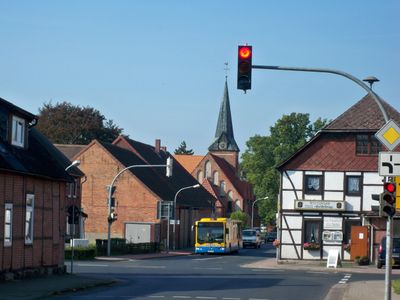
St. Nikolai Kirche Sulingen
10.2 km
Martin-Luther-Kirche
6.4 km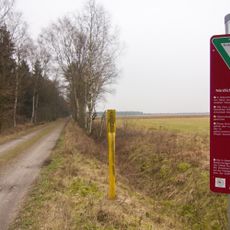
Nördliches Wietingsmoor
5.5 km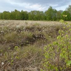
Nördliches und Mittleres Wietingsmoor, Freistätter Moor und Sprekelsmeer
7.6 km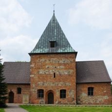
Scholen Church
4.7 km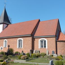
St. Katharinen-Kirche
4.3 km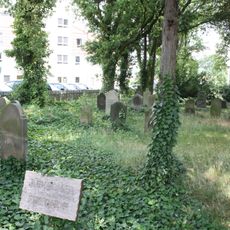
Jüdischer Friedhof Sulingen
9.4 km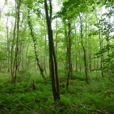
Bruchwald bei Ehrenburg
364 m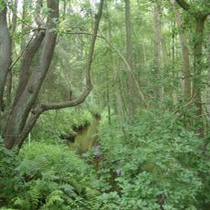
Geestmoor-Klosterbachtal
5.8 km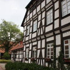
Alte Superintendentur Sulingen
10.2 km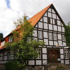
Raths-Apotheke Sulingen
10.2 km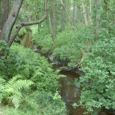
Geestmoor-Klosterbachtal und Schlattbeeke
5.1 km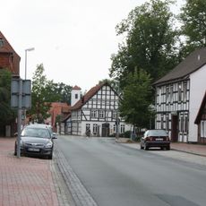
Alte Bürgermeisterei Sulingen
10.2 km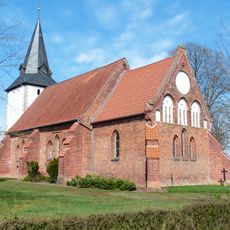
St. Nicolai (Schmalförden)
867 m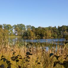
Sprekelsmeer
8.7 km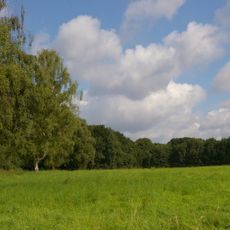
Schlattbeeke
5.5 km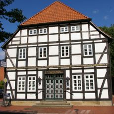
Gebäude Lindenstraße 9
10.1 km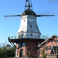
Windmühle Wedehorn
4.2 km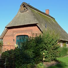
Häuslingshaus Wedehorn 10b
5.2 km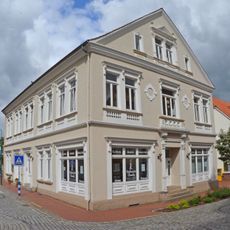
Wohn- und Geschäftshaus Bahnhofstraße 6
6.8 km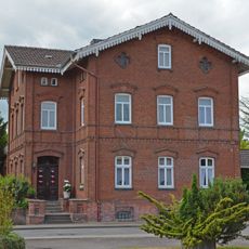
Wohnhaus Wildeshäuser Straße 1
7.2 km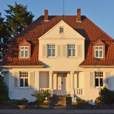
Villa Harpstedter Straße 22
7.3 km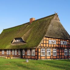
Wohn- und Wirtschaftsgebäude Borwede 1
7.3 km
Speicher Steller Straße 21
6.8 km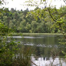
Pastorendiek und Amphibiengewässer nördlich Schwaförden
7.8 km
Bruchwald bei Ehrenburg
310 mVisited this place? Tap the stars to rate it and share your experience / photos with the community! Try now! You can cancel it anytime.
Discover hidden gems everywhere you go!
From secret cafés to breathtaking viewpoints, skip the crowded tourist spots and find places that match your style. Our app makes it easy with voice search, smart filtering, route optimization, and insider tips from travelers worldwide. Download now for the complete mobile experience.

A unique approach to discovering new places❞
— Le Figaro
All the places worth exploring❞
— France Info
A tailor-made excursion in just a few clicks❞
— 20 Minutes