Diepholz, Administrative division in Lower Saxony, Germany
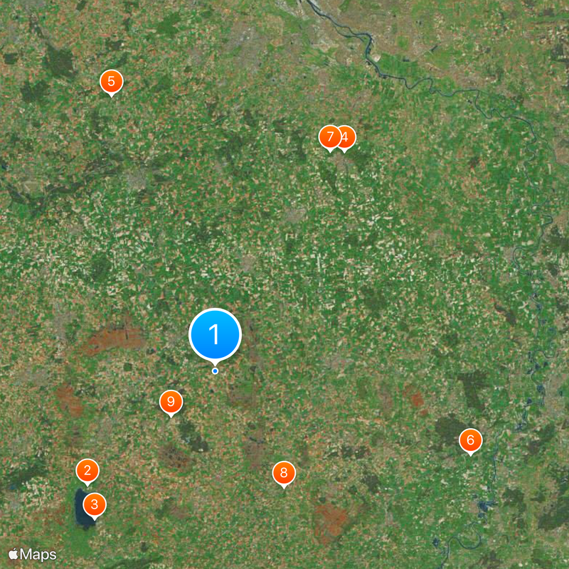
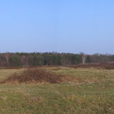
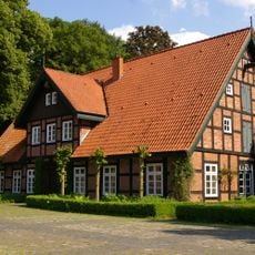
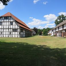
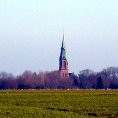
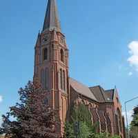
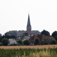
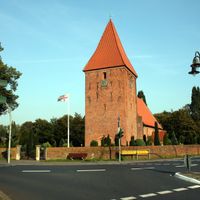
Diepholz is an administrative district in Lower Saxony located between Bremen and North Rhine-Westphalia, comprising multiple municipalities of varying sizes. The landscape features gently rolling hills, farmland, and several lakes, with smaller cities like Diepholz and Stuhr serving as local centers.
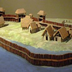
The district took its current form in 1977 when the former Grafschaft Diepholz merged with parts of Grafschaft Hoya, both rooted in medieval territories. This reorganization established the administrative structure that remains in place today.
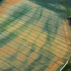
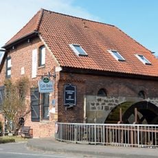
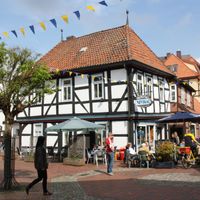
The region has deep roots in farming, which still shapes how many towns look and feel today. Local markets and community events in smaller towns reflect the rhythm of rural life throughout the area.
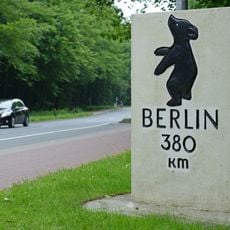
The region connects easily by road to Bremen in the north and Osnabrück to the southwest. A car is helpful for exploring individual towns, though train connections also link Bremen and neighboring areas.
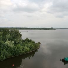
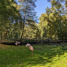
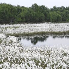
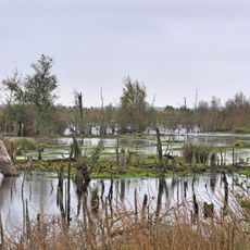
The Dümmer Lake in the southern part of the region is one of northern Germany's most important wetlands and draws birdwatchers from around the area. The shoreline and surrounding marshes offer a surprisingly wild contrast to the otherwise cultivated landscape.
Location: Lower Saxony
Inception: 1977
Capital city: Diepholz
Elevation above the sea: 52 m
Shares border with: Osnabrück, Oldenburg, Verden district, Bremen, Delmenhorst, Vechta, Minden-Lübbecke District, Nienburg an der Weser
Website: https://diepholz.de
GPS coordinates: 52.67000,8.58000
Latest update: December 14, 2025 18:45
Neolithic settlement Hunte 1
21.9 km
Dümmer
24.5 km
Berliner Meilenstein
32.6 km
Hexenstein
37.7 km
Erdwerk von Wellie
34.5 km
Goldhort Gessel
31.8 km
Tierpark Ströhen
17.3 km
NEL pipeline
8 km
Visbeker Braut und Bräutigam
30.1 km
Pestrup grave field
24.4 km
Schloss Etelsen
50.9 km
Wild- und Freizeitpark Ostrittrum
37.2 km
GraftTherme
41.9 km
Uchter Moor
25.3 km
Gut Varrel
41.1 km
Arbergen
46.9 km
Christoph 6
43.7 km
St. Alexander's Church
27.2 km
Diepholz Airfield Circuit
18.7 km
Gutshof Sudweyhe
40.3 km
Oyter See
50.2 km
Sudweyher Wassermühle
40.3 km
Goldenstedter Moor
13.9 km
Saint Vitus Church
26 km
Kleinenknetener Steine
23.5 km
Wassermühle Barrien
34.3 km
Gräberfeld Liebenau
34.7 km
Moorweg im Aschener Moor
17.8 kmVisited this place? Tap the stars to rate it and share your experience / photos with the community! Try now! You can cancel it anytime.
Discover hidden gems everywhere you go!
From secret cafés to breathtaking viewpoints, skip the crowded tourist spots and find places that match your style. Our app makes it easy with voice search, smart filtering, route optimization, and insider tips from travelers worldwide. Download now for the complete mobile experience.
A unique approach to discovering new places❞
— Le Figaro
All the places worth exploring❞
— France Info
A tailor-made excursion in just a few clicks❞
— 20 Minutes