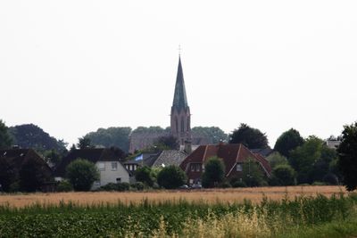
Twistringen, Urban municipality in Diepholz, Germany.
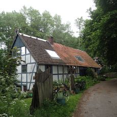
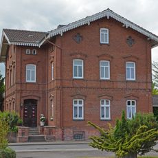
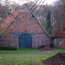
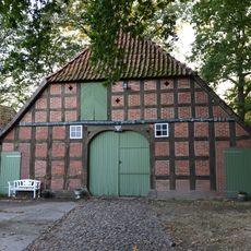
Twistringen is an urban municipality located in the Diepholz district of Lower Saxony in northwestern Germany. The town encompasses several settlements and serves as a local center for surrounding communities.
The settlement first appears in written records from 1250, when it was known as Thuisteringe, though its origins in religious life trace back much earlier. A major shift occurred in 1618 when the area underwent re-Catholicization, which altered its religious character for centuries to come.
The municipality maintains sister city relationships with towns in France and Lithuania, fostering regular cultural exchanges and joint initiatives that residents experience throughout the year. These partnerships have shaped how locals see their place within a broader European context.
The town sits on railway lines connecting to major cities like Bremen and Osnabrück, while the B51 federal road provides direct access to surrounding areas. Getting around the region is straightforward, with good connections to neighboring towns and cities.
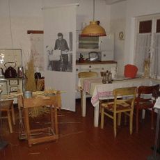
A local museum houses an oversized straw hat that holds an unusual world record, created as part of the town's 750-year celebration decades ago. This quirky piece reveals how the community marked major anniversaries in a memorable and offbeat way.
Location: Diepholz
Elevation above the sea: 54 m
Shares border with: Winkelsett, Bassum
Website: https://twistringen.de
GPS coordinates: 52.80000,8.65000
Latest update: December 20, 2025 15:48
Hünenburg
2.1 km
Museum der Strohverarbeitung
937 m
St. Anna
692 m
Martin-Luther-Kirche
641 m
Jüdischer Friedhof Twistringen
1.5 km
Bruchwald bei Ehrenburg
6.1 km
Sonnenstein von Beckstedt
10.6 km
St. Nicolai (Schmalförden)
7.1 km
St. Marien
12 km
Kirche Heiligenloh
7.5 kmHeiligenloher Beeke und angrenzende Bachniederungen
7.9 km
Schule Am Markt
7 km
Wohnhaus Grabhorststraße 32
3 km
Wildeshauser Lohmühle
14.3 kmWohn- und Wirtschaftsgebäude Logestraße 5
12 kmWohn- und Wirtschaftsgebäude Twistringer Straße 17
9.5 kmDorfstraße 12
11.9 kmWohn- und Wirtschaftsgebäude Hauptstraße 21
11.8 km
Wohn- und Geschäftshaus Bahnhofstraße 6
721 m
Villa Harpstedter Straße 22
922 m
Wohnhaus Wildeshäuser Straße 1
1.2 km
Wohn- und Wirtschaftsgebäude Lerchenhausen 4
6.8 km
Wohn-/Wirtschaftsgebäude Heiligenloh
7.6 km
Speicher Lerchenhausen 1
7 km
Wohn- und Wirtschaftsgebäude Borwede 1
922 m
Wohnhaus Kirchstraße 3
12 km
Speicher Steller Straße 21
453 mBockstedter Moor
9.9 kmVisited this place? Tap the stars to rate it and share your experience / photos with the community! Try now! You can cancel it anytime.
Discover hidden gems everywhere you go!
From secret cafés to breathtaking viewpoints, skip the crowded tourist spots and find places that match your style. Our app makes it easy with voice search, smart filtering, route optimization, and insider tips from travelers worldwide. Download now for the complete mobile experience.
A unique approach to discovering new places❞
— Le Figaro
All the places worth exploring❞
— France Info
A tailor-made excursion in just a few clicks❞
— 20 Minutes