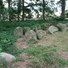
Pestrup grave field, Bronze Age necropolis in Wildeshausen, Germany
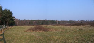
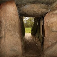
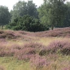
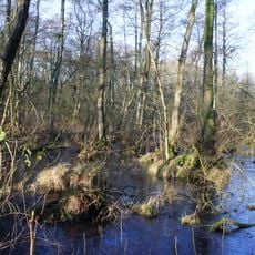
The Pestrup grave field is a Bronze Age necropolis covering about 30 hectares of protected heathland in Lower Saxony, with over 530 burial mounds of varying shapes and sizes. The site displays an extensive system of different mound types, including flattened royal mounds that served as cremation sites from the late Bronze Age into the early Iron Age.
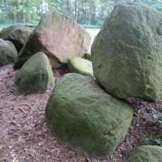
The grave field was created during the Bronze Age and served as a burial site over several centuries. Archaeological excavations in the 1950s revealed that beneath some mounds lay traces of Neolithic settlements that were older than the graves themselves.
The burial ground carries a name rooted in local folklore about giants, reflecting how communities have long connected with this landscape. Today visitors can observe the varied mound shapes and understand how important these structures were to the people who created them.
The site is accessible from Wildeshausen via route K 248 toward Colnrade, with parking available near the entrance area. The terrain is easy to explore on foot since marked paths wind through the landscape and the flat ground makes walking straightforward.
Some mounds still show visible traces of excavations from the 1950s that appear as slight depressions in their surfaces. These investigations allowed archaeologists to determine the exact age of the burials and understand how Bronze Age people conducted their funeral practices.
The community of curious travelers
AroundUs brings together thousands of curated places, local tips, and hidden gems, enriched daily by 60,000 contributors worldwide.