
Dentlein am Forst, market municipality of Germany
Location: Ansbach
Elevation above the sea: 476 m
Part of: Verwaltungsgemeinschaft Dentlein am Forst
Website: http://dentlein.de
GPS coordinates: 49.13333,10.41667
Latest update: April 1, 2025 06:39
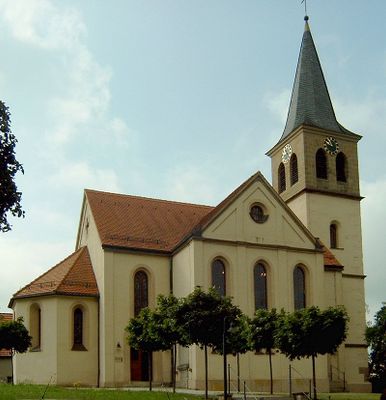
St. Wenzeslaus
5.7 km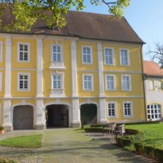
Schloss Dürrwangen
3.2 km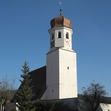
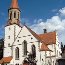
St. Petrus und Paulus
5.3 km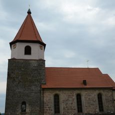
St. Walburga und St. Nikolaus
6.8 km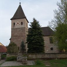
St. Peter
5.6 km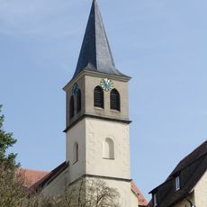
St. Ursula
1.6 km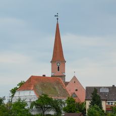
St. Blasius, St. Nikolaus und St. Michael
4.6 km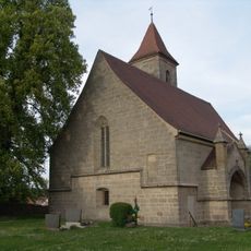
Zur Lieben Frau
5.9 km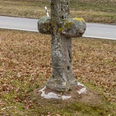
Steinkreuz südlich von Burk
4.5 km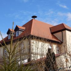
Rathausplatz 1 (D-5-71-132-3)
1.7 km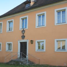
Pfarrhaus (Halsbach)
5.3 km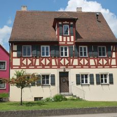
Pfarrhaus
5.7 km
Steinkreuz östlich von Burk
5.5 km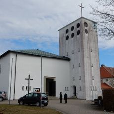
St. Raphael
1.5 km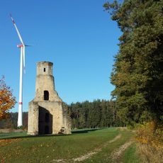
Kapellenfeld
1.1 km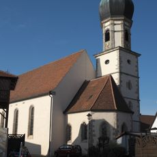
Mariä Empfängnis
3.3 km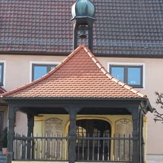
Ehemalige katholische Kapelle, sogenannte Schmerzhafte Kapelle, jetzt Kriegergedächtniskapelle
3.4 km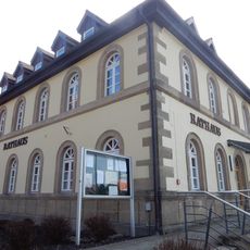
Ehemalige Schule, jetzt Rathaus
1.7 km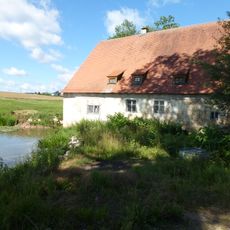
Ehemalige Mühle
3.1 km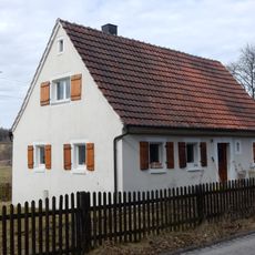
Kirchenstraße 29
566 m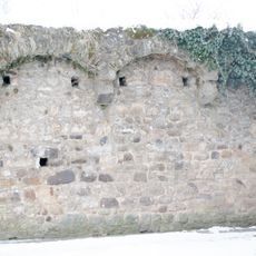
Stadtmauer mit Grabenbereich
7.1 km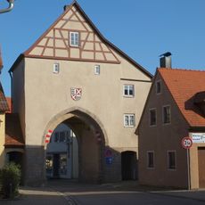
Torturm der ehemaligen Ortsbefestigung
3.3 km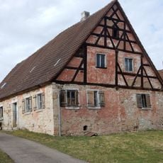
Kirchenstraße 19
413 m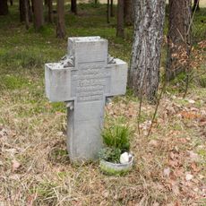
Unfallkreuz östlich von Burk
6.7 km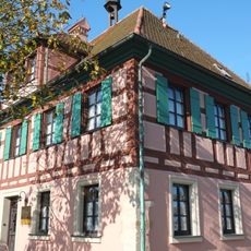
Rathaus (Dürrwangen)
3.2 km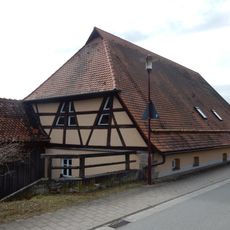
Kirchenstraße 12
456 m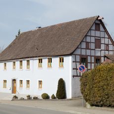
Kronenwirtsberg 3
7 km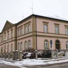
Ringstraße 72
7.1 kmVisited this place? Tap the stars to rate it and share your experience / photos with the community! Try now! You can cancel it anytime.
Discover hidden gems everywhere you go!
From secret cafés to breathtaking viewpoints, skip the crowded tourist spots and find places that match your style. Our app makes it easy with voice search, smart filtering, route optimization, and insider tips from travelers worldwide. Download now for the complete mobile experience.

A unique approach to discovering new places❞
— Le Figaro
All the places worth exploring❞
— France Info
A tailor-made excursion in just a few clicks❞
— 20 Minutes