Enable Location

We need your location to show you interesting places around you

Discover nearby places

Find interesting locations and hidden gems around you

Precise directions

Get accurate directions and distances to places

Your location is never shared with other users. It's only used when you tap the location button.

Ansbach

Log in to your account

Start exploring — it's free

Trusted by 62,832 travelers worldwide

Continue with Google
Continue with Apple
or

We will send you a code to connect

By continuing, you accept our Terms and Conditions and our Privacy Policy

Check your inbox

We've sent a pincode in your inbox. Please enter the code below.

Ansbach, Administrative district in Middle Franconia, Germany

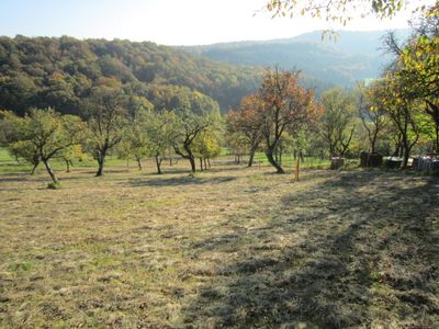
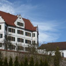
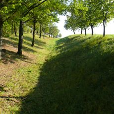
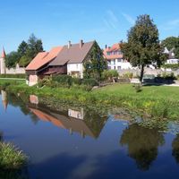
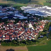
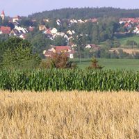
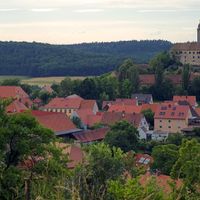
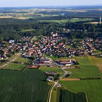
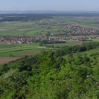
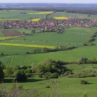
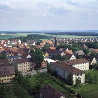
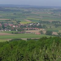
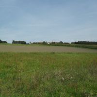
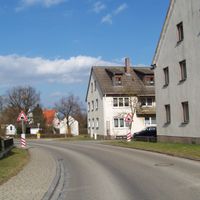
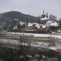
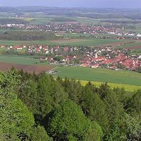
Ansbach is an administrative district in Middle Franconia that spans diverse landscape with ridges, forests, and heath areas. The district comprises around 58 municipalities and offers a mix of rural areas and historical settlement cores with pronounced medieval character.

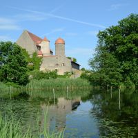
The district formed in 1972 through the merger of several territories, including the former independent districts of Ansbach, Dinkelsbühl, Feuchtwangen, and Rothenburg. This consolidation brought together regions that had long histories as independent Free Imperial cities or principalities.

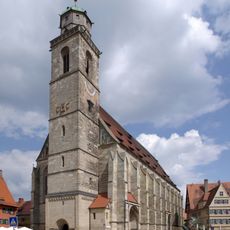
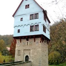
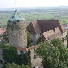
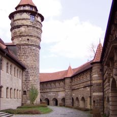
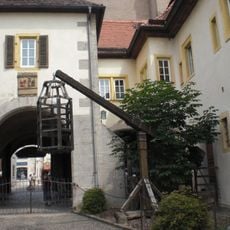
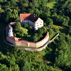
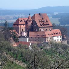
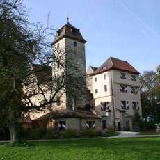
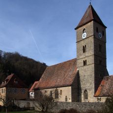
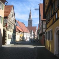
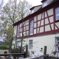
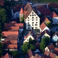
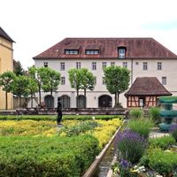
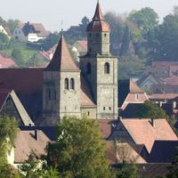
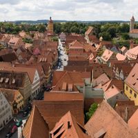
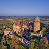
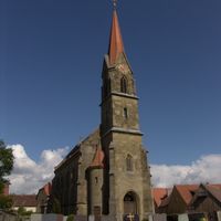
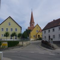
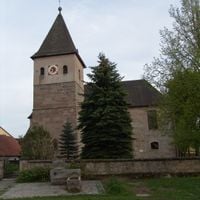
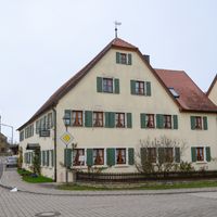
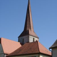
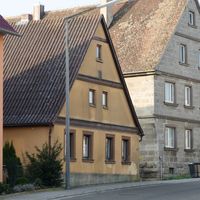
The district contains several medieval towns with well-preserved city centers where narrow streets and traditional half-timbered buildings dominate the landscape. These places show visitors how life unfolded in the old Free Imperial cities, with their market squares and town gates that transport people back in time.

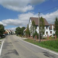
The district administration is based in the city of Ansbach, where services for all municipalities are coordinated. When visiting, keep in mind that the district spreads across different landscapes and individual towns are reachable by car or public transport.

The district's coat of arms combines Hohenzollern black and white, Franconian red and white colors, and the imperial eagle, reflecting the political lines of various former rulers. These symbols tell of the different dynasties and power structures that shaped the region over centuries.

The community of curious travelers

AroundUs brings together thousands of curated places, local tips, and hidden gems, enriched daily by 60,000 contributors worldwide.

Start exploring
Location
Inception
July 1, 1862
Capital city
Ansbach
Elevation above the sea
426 m
Shares border with
Weißenburg-Gunzenhausen, Roth, Fürth, Neustadt (Aisch)-Bad Windsheim, Donau-Ries, Ansbach, Main-Tauber-Kreis, Landkreis Schwäbisch Hall, Ostalbkreis, Muhr am See, Gunzenhausen, Haundorf, Gnotzheim
GPS coordinates
49.25000,10.47000
Latest update
December 17, 2025 09:00
« Ansbach - Administrative district in Middle Franconia, Germany » is provided by Around Us (aroundus.com). Images and texts are derived from Wikimedia project under a Creative Commons license. You are allowed to copy, distribute, and modify copies of this page, under the conditions set by the license, as long as this note is clearly visible.

Discover hidden gems everywhere you go!

From secret cafés to breathtaking viewpoints, skip the crowded tourist spots and find places that match your style. Our app makes it easy with voice search, smart filtering, route optimization, and insider tips from travelers worldwide. Download now for the complete mobile experience.

Around Us App Screenshot

A unique approach to discovering new places

Le Figaro

All the places worth exploring

France Info

A tailor-made excursion in just a few clicks

20 Minutes

Around Us
Travel Guide & Maps
Download

Send to your phone

QR Code
1

Open the camera app on your mobile.

2

Point at the QR code with your camera. A notification will appear.

3

Tap the notification to open the link.