Dinkelsbühl, Medieval walled town in Ansbach, Germany
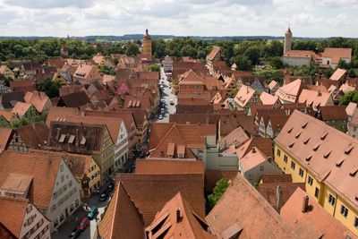
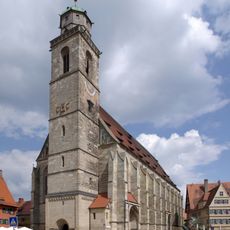
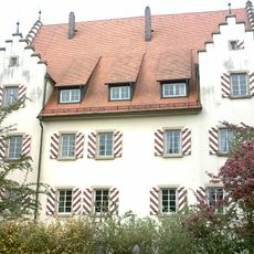
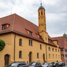
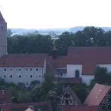
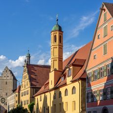
Dinkelsbühl is a fully enclosed walled settlement in the Ansbach district of Middle Franconia, with a defensive ring of 18 towers and four gates that remains complete. Inside the fortifications, cobbled lanes wind past timber houses from the 15th and 16th centuries, including the late Gothic church of St. George with its slender tower rising above the rooftops.
The settlement gained urban rights in 1305 from the emperor and became a free imperial city in 1351, answering directly to imperial authority. During the Thirty Years' War, it avoided destruction in 1632 by surrendering peacefully to Swedish forces, which helped preserve its medieval appearance.
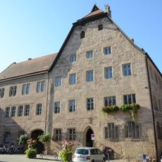
Local inhabitants still refer to the main streets by their medieval guild names, such as Weinmarkt and Segringer Straße, where craftspeople once gathered. Visitors today notice that many ground floors preserve original vaulted ceilings from workshops, with some now serving as bakeries and cafés that keep wooden tables and benches in use.
Visitors reach the town most easily by bus from Crailsheim or Ansbach railway stations, with journeys taking roughly 30 to 50 minutes. The old center is entirely walkable, and cars are best left in designated parking areas outside the walls.
Each gatehouse along the wall carries a hand-forged weather vane with guild symbols that help visitors find their way within the old center. The western Nördlinger Gate still shows scrape marks inside from 17th-century cannonballs used in gunnery practice.
The community of curious travelers
AroundUs brings together thousands of curated places, local tips, and hidden gems, enriched daily by 60,000 contributors worldwide.