Heilsbronn, urban municipality in Germany
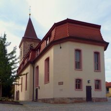
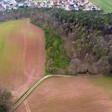
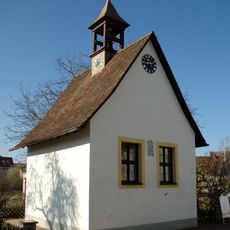
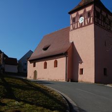
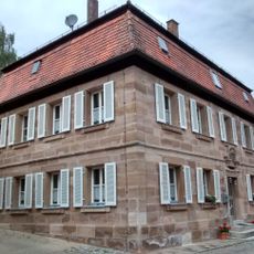
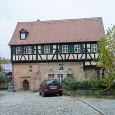
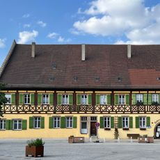
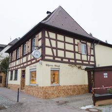
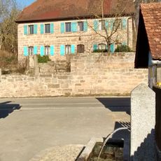
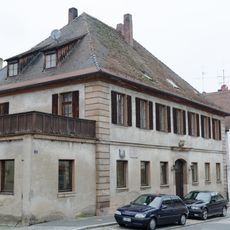
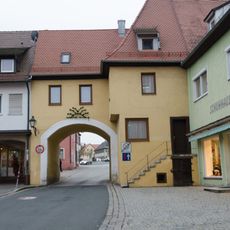
Heilsbronn is a small town in Bavaria, located in the Ansbach district and surrounded by a flat, agricultural landscape. Its center mixes historic stone buildings, including the Katharinenturm tower, with everyday shops and residential streets.
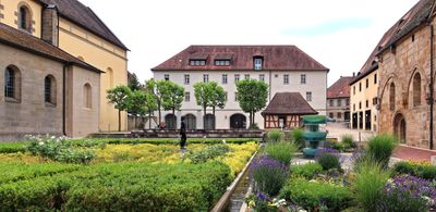
Heilsbronn grew around an abbey founded in 1132, which served as a major religious center in the region for more than four centuries. When the abbey was dissolved in 1555, its buildings were kept and still shape the appearance of the town today.
The name Heilsbronn comes directly from the medieval abbey, giving the town its identity to this day. Walking through the center, you can still see traces of that monastic past in the architecture and the layout of the streets.
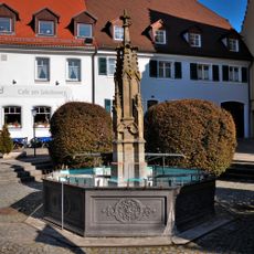
The town center is compact and easy to explore on foot, with most points of interest and shops within a short walk of each other. Its location near Nuremberg makes it a convenient base for visiting the wider region.
A monk who lived here in the 14th century wrote poems such as Sieben Graden and Leben des heiligen Alexius, which were not published until the 19th century. These texts show that the abbey was also a place of literary work, far beyond its role as a religious institution.
The community of curious travelers
AroundUs brings together thousands of curated places, local tips, and hidden gems, enriched daily by 60,000 contributors worldwide.