Leutershausen, urban municipality in Germany
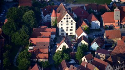
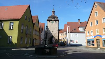
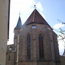
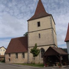
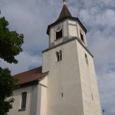
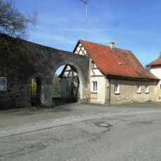
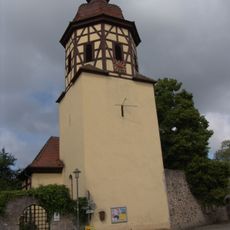
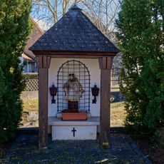
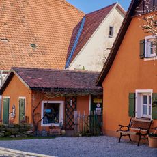
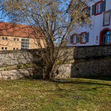
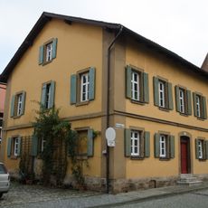
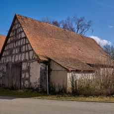
Leutershausen is a small town in Ansbach, Germany, with roots reaching back over a thousand years and currently home to around five thousand residents. The town features narrow streets lined with historic buildings, including St. Peter's Church, medieval gates, and sections of a fourteenth-century city wall.
Leutershausen was founded by Frankish settlers around the year 800, with the first documented mention occurring in the year 1000 when an emperor named it in a document. In April 1945, near the end of World War II, Allied bombing heavily damaged the town, but it rebuilt over the following years and today preserves old walls and buildings that reflect its long past.
Leutershausen has an active sports community dating back to 1862, organizing football, athletics, and various other activities that bring residents together. Local markets and festivals throughout the year allow people to gather, share traditions, and strengthen their connections to one another.
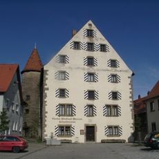
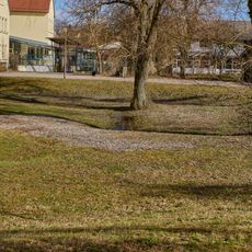
The town is easily accessible by car and invites visitors to walk through its quiet streets, explore medieval gates, and use the Altmühlradweg bike trail that passes through the area. The local history museum at Am Markt displays artifacts from the region and opens seasonally from spring through fall on weekdays.
Gustave Whitehead, a local figure, is considered by some to have achieved powered flight before the famous Wright brothers, and a museum dedicated to him honors his pioneering work in aviation. Additionally, a sister city relationship with Szendrő in Hungary beginning in 2000 has fostered ongoing cultural exchanges between the two communities.
The community of curious travelers
AroundUs brings together thousands of curated places, local tips, and hidden gems, enriched daily by 60,000 contributors worldwide.