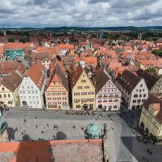
Rothenburg ob der Tauber, Medieval town in Bavaria, Germany.
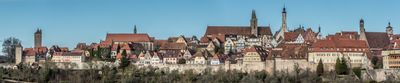
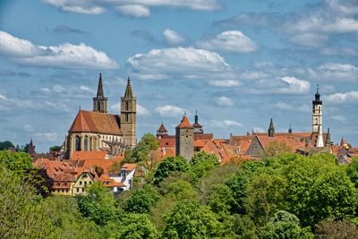
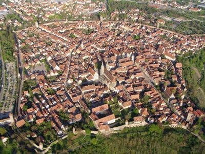
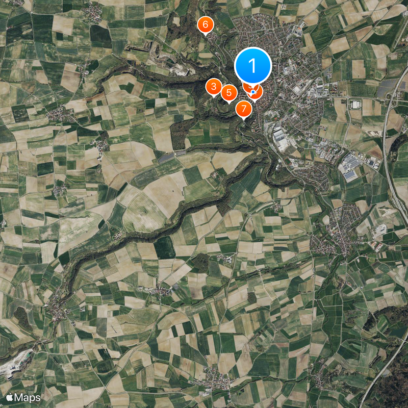
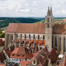
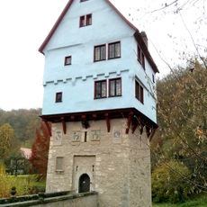
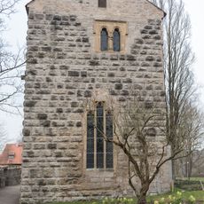
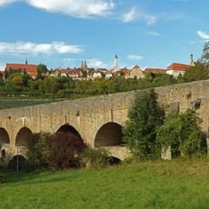
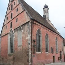
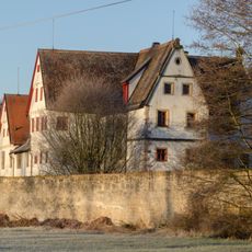
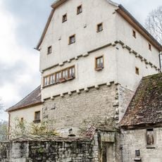
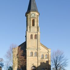
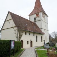
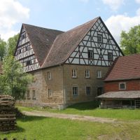
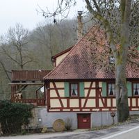
Rothenburg ob der Tauber is a medieval town in Bavaria, Germany, perched on a rocky outcrop above the Tauber Valley. The fully preserved defensive wall stretches over four kilometers and encloses winding lanes lined with red-roofed half-timbered houses, 46 defense towers, and several town gates.
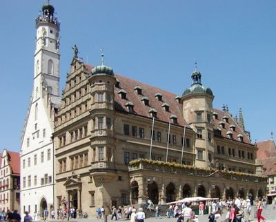
The settlement emerged in the 10th century and received town rights in the 13th century, while fortifications were expanded in several phases until the 16th century. During the Thirty Years' War in 1631, Mayor Georg Nusch saved the town from destruction by accepting the challenge to drink 3.25 liters of wine in one go.
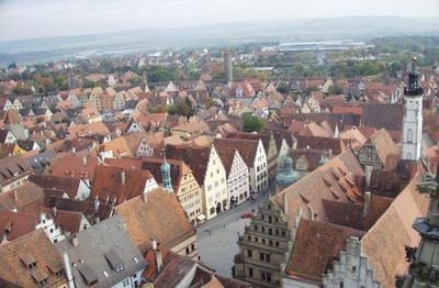
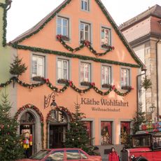
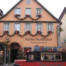
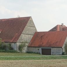
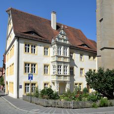
The name means "red fortress above the Tauber river", referring to the color of the roofs and its position on a rocky outcrop. Locals use the old town daily for shopping in small stores, while visitors walk through the lanes and along the accessible wall.
The walkable wall path allows you to circle the town at an elevated position, offering changing views over the Tauber Valley and rooftops along the way. In some sections narrow stairs lead upward and in others you pass through low doorways, so sturdy footwear and steady footing help throughout the route.
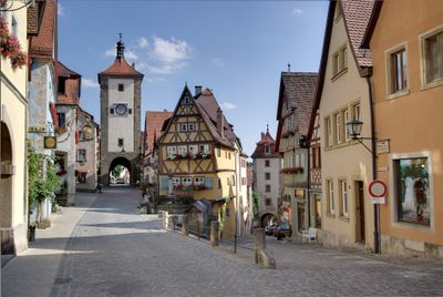
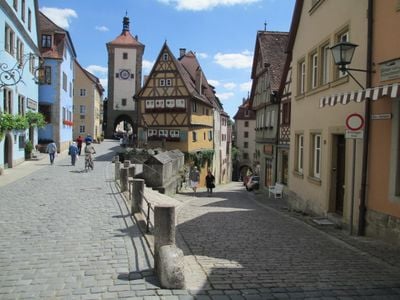
The Plönlein junction shows a yellow half-timbered house wedged between two streets at different levels, framed by the Siebers Tower and Kobolzeller Gate. This scene ranks among the most photographed views in Germany and appears on countless postcards and travel guides.
The community of curious travelers
AroundUs brings together thousands of curated places, local tips, and hidden gems, enriched daily by 60,000 contributors worldwide.