Herrieden, Urban municipality in Ansbach, Bavaria, Germany
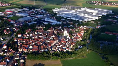
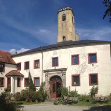
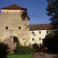
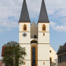
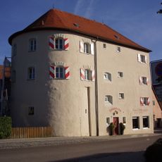
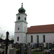
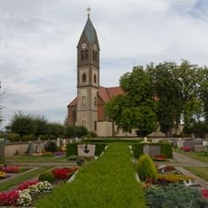
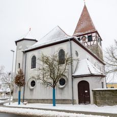
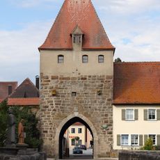
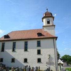
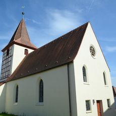
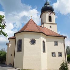
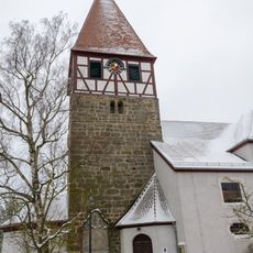
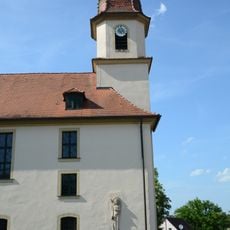
Herrieden is an urban municipality in the Ansbach district of Middle Franconia, situated at about 423 meters elevation in gently rolling countryside. Stone buildings in traditional Franconian style line its streets, with older structures and modern additions creating a layered town appearance.
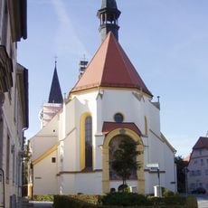
A Benedictine abbey formed the nucleus of the settlement in the late Carolingian period and shaped its early growth. The region later came under Hohenzollern rule, which shaped its medieval structure and governance.
The town keeps its Franconian roots alive through local festivals where residents share traditional foods and demonstrate craft skills passed down through generations. Visitors can experience these living customs directly and meet people who take pride in maintaining their regional identity.
The town connects well to larger cities through regional roads and transport links, with various lodging options available for visitors. Exploring during warmer months is pleasant, and the local infrastructure makes it easy to move around the area without hassle.
The town plays a role in the Ansbach-South electoral district and contributes to regional administration and development. This administrative function connects the municipality to broader political and economic processes happening in the region.
The community of curious travelers
AroundUs brings together thousands of curated places, local tips, and hidden gems, enriched daily by 60,000 contributors worldwide.