
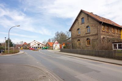
Schwülper, municipality of Germany
Location: Papenteich
Location: Gifhorn
Elevation above the sea: 64 m
Shares border with: Wendeburg, Adenbüttel, Vordorf, Brunswick
Website: https://gemeinde-schwuelper.de
GPS coordinates: 52.34694,10.45083
Latest update: March 3, 2025 11:17
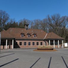
Federal Agricultural Research Centre
6.2 km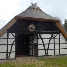
Bauernhausmuseum Bortfeld
6.7 km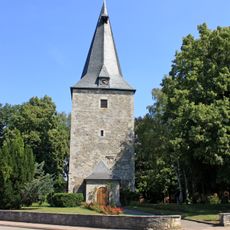
Marienkirche
4.4 km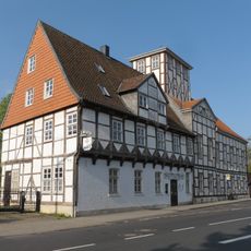
Ölper Turm
7.2 km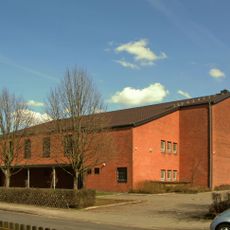
St. Christophorus
6.2 km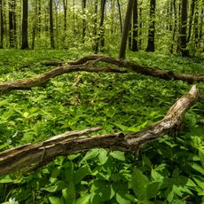
Maaßeler Lindenwald
6.8 km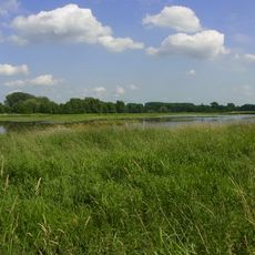
Braunschweiger Okeraue
4.7 km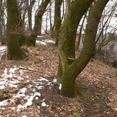
Scheverlingenburg
796 m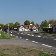
Hülperode
2.7 km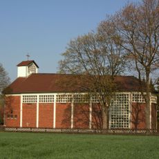
St. Elisabeth
5.1 km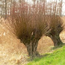
Okeraue bei Didderse
6.4 km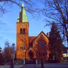
Jerusalemkirche
6.5 km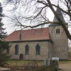
St.-Nikolai-Kirche
1.3 km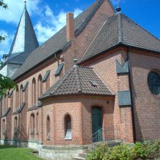
Sankt-Nicolai-Kirche (Rethen)
3.8 km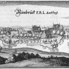
Burg Neubrück
3.7 km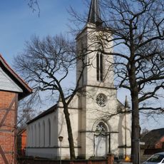
St. Jürgen (Ölper)
7.4 km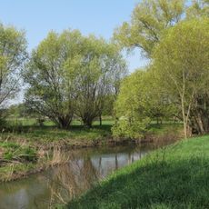
Nördliche Okeraue zwischen Hülperode und Neubrück
1 km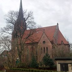
St. Marien
3.6 km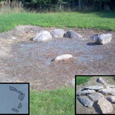
Großsteingrab von Rethen
5.7 km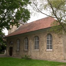
Georgskirche
6.7 km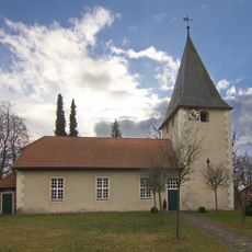
St.-Sebastian-Kirche
7.6 km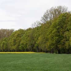
Von Pawelsches Holz, Ölper Holz und Der Lammer Busch
7.5 km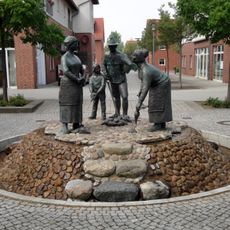
Rübenbauern
7 km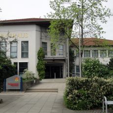
City hall
7.2 km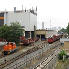
Betriebsbahnhof Braunschweig-Rühme
7.4 km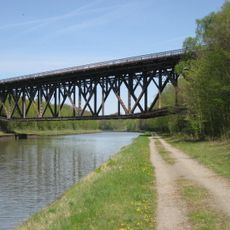
Bechtsbüttel railway bridge
5.9 km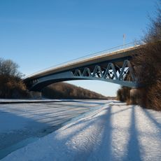
Mittellandkanalbrücke B4
5.1 km
Maaßel
6.7 kmVisited this place? Tap the stars to rate it and share your experience / photos with the community! Try now! You can cancel it anytime.
Discover hidden gems everywhere you go!
From secret cafés to breathtaking viewpoints, skip the crowded tourist spots and find places that match your style. Our app makes it easy with voice search, smart filtering, route optimization, and insider tips from travelers worldwide. Download now for the complete mobile experience.

A unique approach to discovering new places❞
— Le Figaro
All the places worth exploring❞
— France Info
A tailor-made excursion in just a few clicks❞
— 20 Minutes