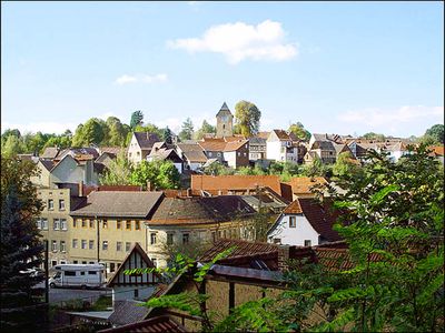
Stadtroda, municipality of Germany
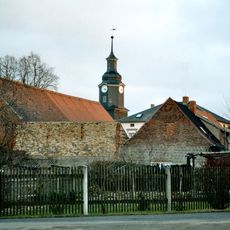
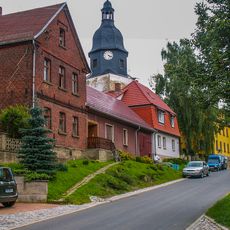
Stadtroda is a small town in Saale-Holzland-Kreis district that includes several villages and neighborhoods. Simple brick houses with small gardens line the streets, reflecting building styles from various periods and creating a quiet residential character.
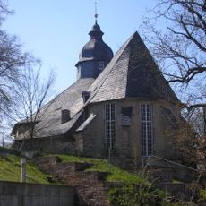
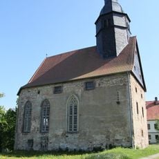
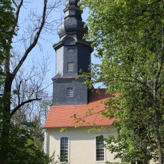
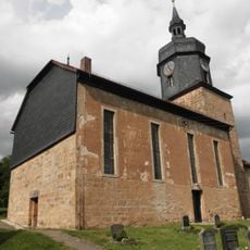
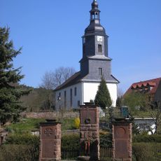
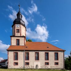
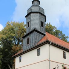
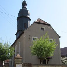
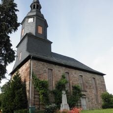
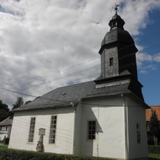
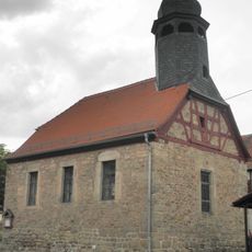
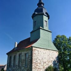
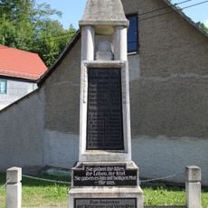
The town has a long past reflected in architecture across different eras. Older buildings in the center show how the place developed over generations and reveal the various building styles that took root over time.
Stadtroda is a place where small shops and local crafts shape everyday life. Residents gather regularly at markets and festivals throughout the year to share music, food, and community celebrations.
The town connects to neighboring areas by local roads and serves as a center for shopping and daily needs. Parks and green spaces nearby offer places to walk and explore the surrounding landscape.
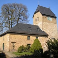
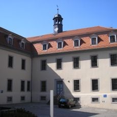
The town has a town hall on the main street with classic architecture that still functions as a gathering place for local meetings and administrative work. This building remains the heart of community life and shows how the town has maintained its local identity.
The community of curious travelers
AroundUs brings together thousands of curated places, local tips, and hidden gems, enriched daily by 60,000 contributors worldwide.