Teuchern, municipality of Germany
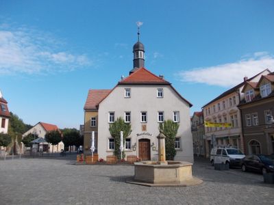
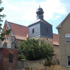
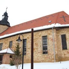
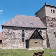
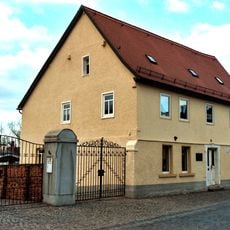
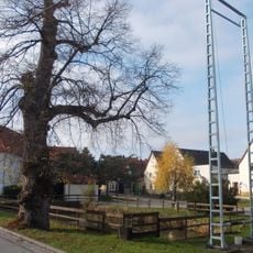
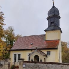
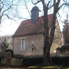
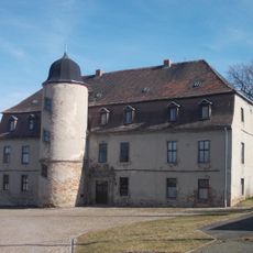
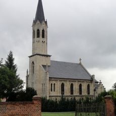
Teuchern is a small town in Burgenlandkreis district in Saxony-Anhalt with traditional brick architecture and straight streets that are easy to navigate. The town center features a historic town hall and market square where residents gather, while residential areas contain modest houses with tended gardens and red tiled roofs.
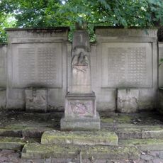
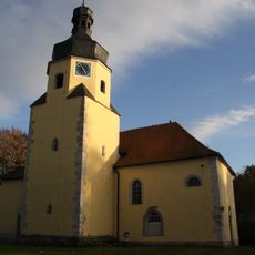
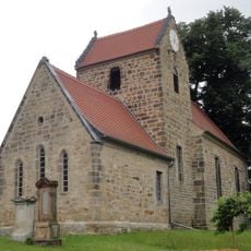
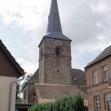
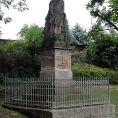
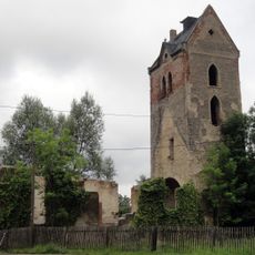
Teuchern originated from Slavic settlements and developed over centuries as a rural trade center with a church and market square. The town grew slowly, and in 2011 it merged with several surrounding communities, creating its present form.
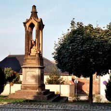
The name Teuchern has roots in the Slavic settlement of the region, visible in local traditions and community gatherings. At the market square and local events throughout the year, residents celebrate seasonal customs and maintain close neighborhood bonds that define daily life.
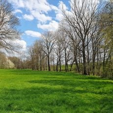
The town is easily accessible by road, located about 10 kilometers southeast of Weißenfels, making day trips from larger cities convenient. Public transportation is limited on weekends, so having your own vehicle is helpful for exploring the surrounding countryside and visiting nearby towns.
The composer Reinhard Keiser, who lived in the late 17th and early 18th centuries, came from this region and contributed to the town's musical heritage. This historical connection to classical music still shapes the cultural identity of the place today.
The community of curious travelers
AroundUs brings together thousands of curated places, local tips, and hidden gems, enriched daily by 60,000 contributors worldwide.