
Röderland, municipality in Brandenburg state, Germany
Location: Elbe-Elster District
Elevation above the sea: 90 m
Shares border with: Bad Liebenwerda, Elsterwerda
Address: Am Markt 1, 04932 Röderland 04932
Website: https://gemeinde-roederland.de
GPS coordinates: 51.42950,13.49344
Latest update: April 1, 2025 22:46

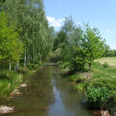
Elsterwerda-Grödel-Floßkanal
1.9 km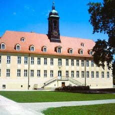
Schloss Elsterwerda
3.5 km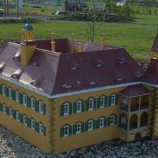
Schloss Saathain
4.3 km
Naherholungsgebiet Waldbad Zeischa
8.8 km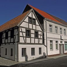
Kleine Galerie Elsterwerda
3.9 km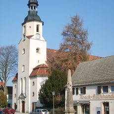
St. Katharina-Kirche
3.7 km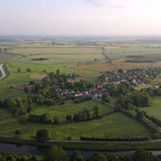
Schloss Würdenhain
5.4 km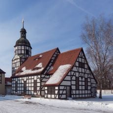
Gutskirche Saathain
4.3 km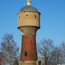
Wasserturm Weststraße Elsterwerda
3.3 km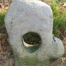
Sühnekreuz Elsterwerda
2.1 km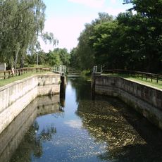
Schleusenhaus Prösen
1.5 km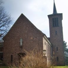
Christuskirche Biehla
5 km
Alte Röder bei Prieschka
7.3 km
Katholische Kirche Elsterwerda
4.2 km
Wassermühle Prieschka
7.5 km
Kaiserliches Postamt Elsterwerda
3.7 km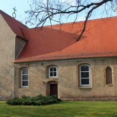
Dorfkirche (Würdenhain)
5.6 km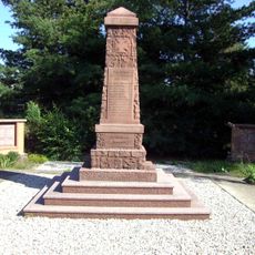
Reichenhain war memorial
5.7 km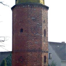
Glockenturm Biehla
4.7 km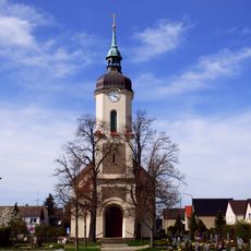
Dorfkirche Nauwalde
6 km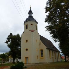
Dorfkirche Prösen
47 m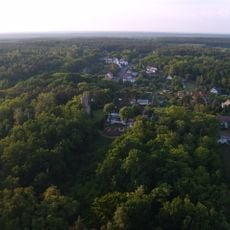
Güterbank
6 km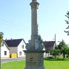
Denkmal für die Gefallenen im Deutsch-Französischen Krieg (Stolzenhain an der Röder)
3.2 km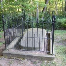
Grabmal des Elias Borßdorff
9.1 km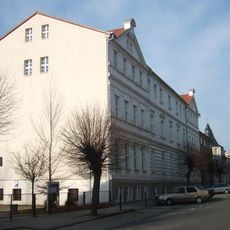
Präparandenanstalt Elsterwerda
3.5 km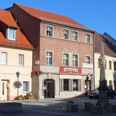
Hauptstraße 8 (Elsterwerda)
3.6 km
Schleuse Prösen
1.5 km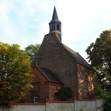
Village church Burxdorf
3.6 kmReviews
Visited this place? Tap the stars to rate it and share your experience / photos with the community! Try now! You can cancel it anytime.
Discover hidden gems everywhere you go!
From secret cafés to breathtaking viewpoints, skip the crowded tourist spots and find places that match your style. Our app makes it easy with voice search, smart filtering, route optimization, and insider tips from travelers worldwide. Download now for the complete mobile experience.

A unique approach to discovering new places❞
— Le Figaro
All the places worth exploring❞
— France Info
A tailor-made excursion in just a few clicks❞
— 20 Minutes