
Völpke, municipality of Germany
Location: Obere Aller
Elevation above the sea: 149 m
Website: http://obere-aller.de/verzeichnis/objekt.php?mandat=40950
GPS coordinates: 52.13667,11.09500
Latest update: April 6, 2025 11:08
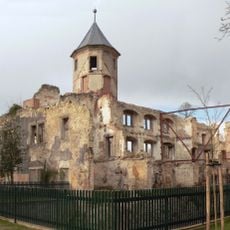
Schloss Harbke
6.9 km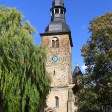
Kloster Marienborn
6.8 km
Burg Ummendorf
6.3 km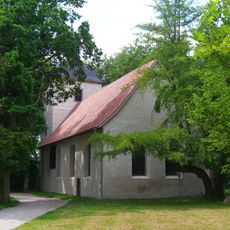
St. Levin (Harbke)
6.9 km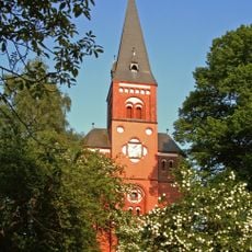
St. Joseph und Augustinus (Hötensleben)
5.4 km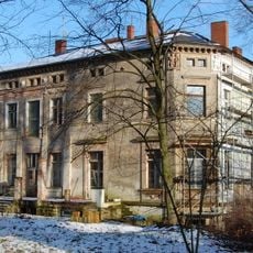
Hof Tangermann
7.8 km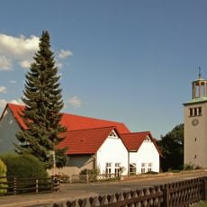
St. Barbara
6.4 km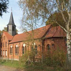
Herz Jesu
7.6 km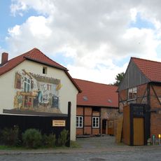
Tischlereimuseum Rüdiger Timme
8.2 km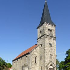
Dorfkirche Belsdorf
7.7 km
St. Bernward
3.9 km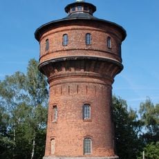
Wasserturm Eilsleben
7 km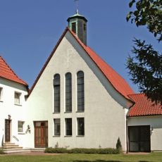
Alversdorfer Straße 56
4.2 km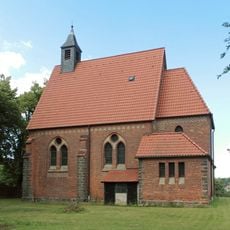
St. Josef
6.7 km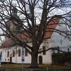
Dorfkirche Ummendorf
6.3 km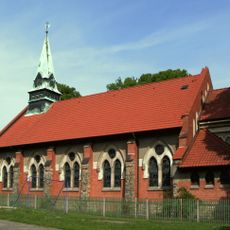
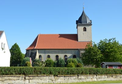
Sacred Heart Church
790 m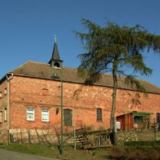
St. Johannes Baptist (Ausleben)
6.2 km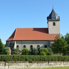
Margaretenkirche
315 m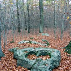
Großsteingrab Marienborn 1
7.4 km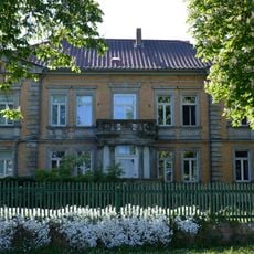
Gutshof Völpke
278 m
Ziegenberg 123
6.5 km
Dorfkirche Ottleben
6 km
Ernst-Thälmann-Straße 21, Im Winkel 1, 3, Mittelstraße 12, 13
304 m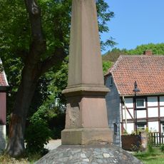
Denkmal in der Bahnhofsstraße in Hötensleben
5.4 km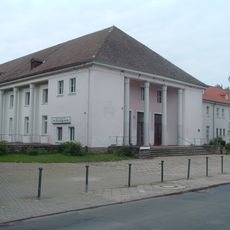
Kulturhaus Harbke
6.8 km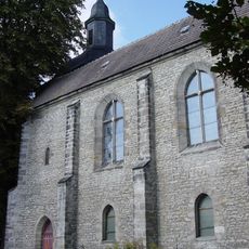
St. Lorenz
8.1 km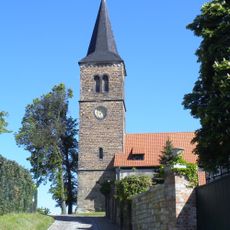
Protestant Church Beckendorf
6.3 km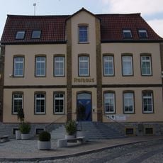
City hall
8.1 kmVisited this place? Tap the stars to rate it and share your experience / photos with the community! Try now! You can cancel it anytime.
Discover hidden gems everywhere you go!
From secret cafés to breathtaking viewpoints, skip the crowded tourist spots and find places that match your style. Our app makes it easy with voice search, smart filtering, route optimization, and insider tips from travelers worldwide. Download now for the complete mobile experience.

A unique approach to discovering new places❞
— Le Figaro
All the places worth exploring❞
— France Info
A tailor-made excursion in just a few clicks❞
— 20 Minutes