
Gochsheim, municipality of Germany
Location: Schweinfurt
Elevation above the sea: 236 m
Website: https://gochsheim.de
GPS coordinates: 50.01667,10.28333
Latest update: March 8, 2025 17:44
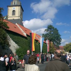
St. Michael
346 m
Burgstall Bergheide
2.6 km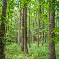
Spitalholz bei Gochsheim
2.4 km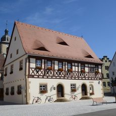
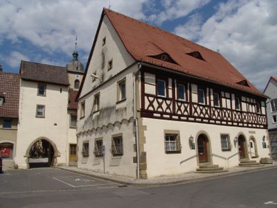
Rathaus
293 m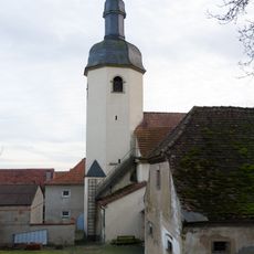
Pfarrkirche
2.4 km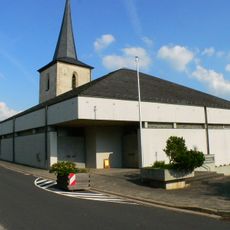
Pfarrkirche
4.2 km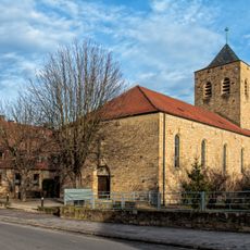
Pfarrkirche
3.2 km
Kapelle
3.6 km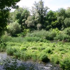
Saumain in der Stadt Schweinfurt
4.2 km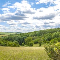
Weyerer Bergheide mit Hangwäldern und Altwasser
2.4 km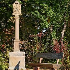
Bildstock
2.4 km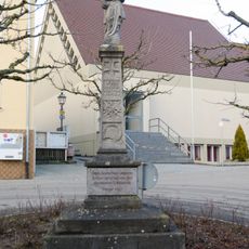
Kriegerdenkmal
2.4 km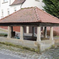
Gemeindebrunnen
2.4 km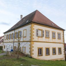
Pfarrhaus
2.5 km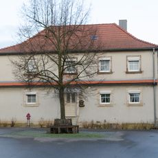
Bauernhof
2.5 km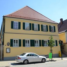
Pfarrhaus
358 m
Apostelhaus
216 m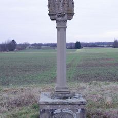
Bildstock
1.2 km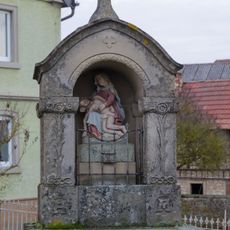
Tabernakelbildstock
2.4 km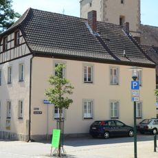
Kantoratsgebäude
356 m
Schmiede
368 m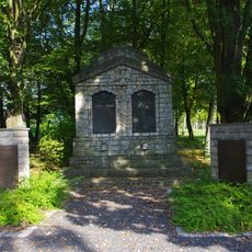
Kriegerhain
629 m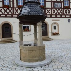
Brunnen
283 m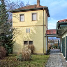
Pulverturm
3.2 km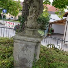
Heiligenfigur
4 km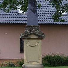
Kriegerdenkmal
3.2 km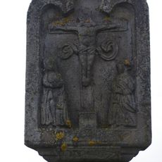
Bildstock
2.6 km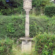
Bildstock
4.4 kmReviews
Visited this place? Tap the stars to rate it and share your experience / photos with the community! Try now! You can cancel it anytime.
Discover hidden gems everywhere you go!
From secret cafés to breathtaking viewpoints, skip the crowded tourist spots and find places that match your style. Our app makes it easy with voice search, smart filtering, route optimization, and insider tips from travelers worldwide. Download now for the complete mobile experience.

A unique approach to discovering new places❞
— Le Figaro
All the places worth exploring❞
— France Info
A tailor-made excursion in just a few clicks❞
— 20 Minutes