Schweinfurt, Administrative district in Lower Franconia, Germany
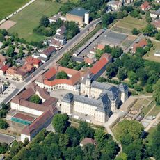
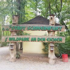
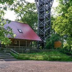
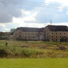
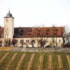
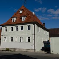
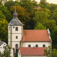
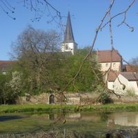
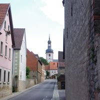
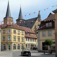
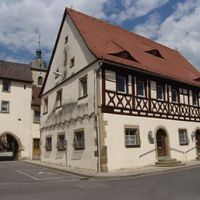
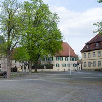
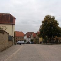
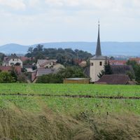
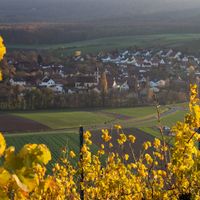
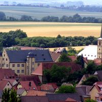
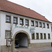
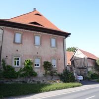
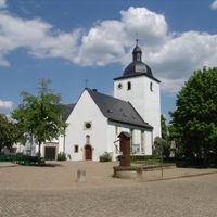
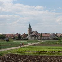
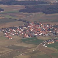
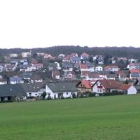
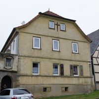
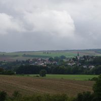
Schweinfurt district is an administrative area in Lower Franconia containing 29 municipalities spread across rolling terrain between the Haßberge hills and Spessart mountains. The region includes villages and small towns with traditional Franconian architecture and rural landscape character.
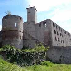
The district was formed in 1972 when parts of the former Gerolzhofen district were merged to create its current boundaries. This administrative reform established the foundation for how the area is organized today.
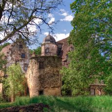
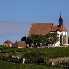
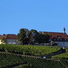
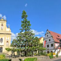
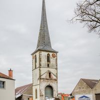
Communities in the district maintain Franconian traditions through local festivals and wine-making practices that shape regional identity. Visitors experience these customs in village centers and on the vineyards surrounding smaller towns.
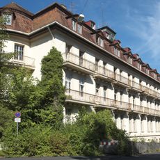
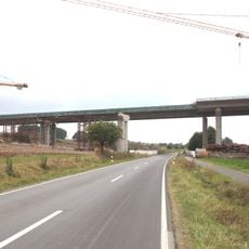
The area is well connected to major Bavarian cities through the A70 and A71 motorways and regional train services. Visitors will find accommodations, restaurants, and local services in the communities, typical of rural regions.
In 2022, archaeologists discovered a 19-centimeter clay figurine dating to around 1000 BCE with five perforated holes and detailed facial features. This find reveals the region's deep settlement history and offers insight into early craftsmanship skills of its inhabitants.
The community of curious travelers
AroundUs brings together thousands of curated places, local tips, and hidden gems, enriched daily by 60,000 contributors worldwide.