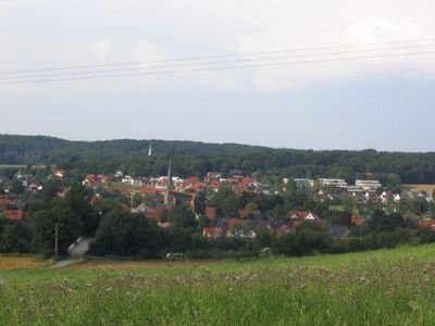
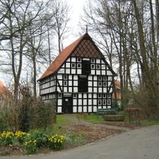
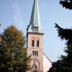
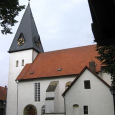
Bissendorf, municipality of Germany
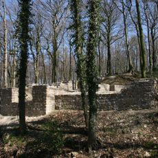
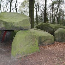
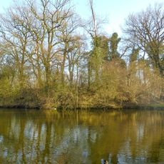
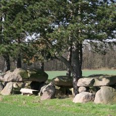
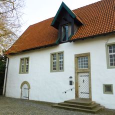
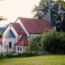
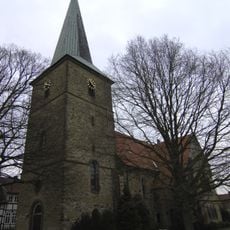
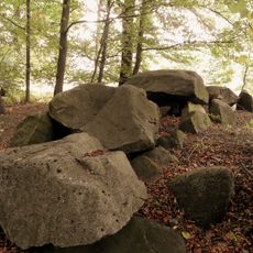
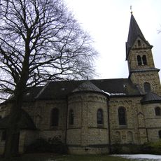
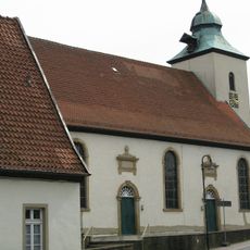
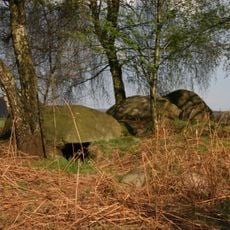
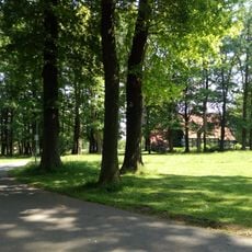
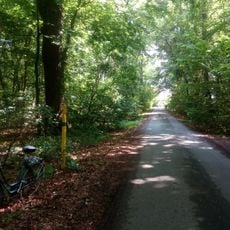
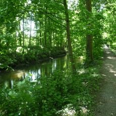
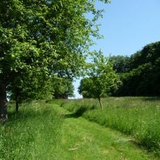
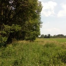
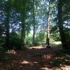
Bissendorf is a municipality in the Osnabrück region comprising several small villages set within rolling countryside. The area features meadows, farmland, and woodlands that create its rural character.
The area was settled in medieval times and retained its rural character for centuries. Over time it developed as an agricultural region, a role it continues to play today.
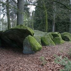
The municipality is accessible by car and offers opportunities for walks through the surrounding landscape. Infrastructure is rural in nature, with small settlements that can be explored on foot or by bike.
The community of curious travelers
AroundUs brings together thousands of curated places, local tips, and hidden gems, enriched daily by 60,000 contributors worldwide.