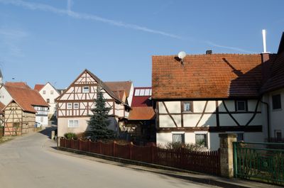
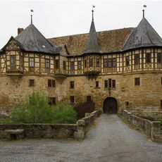
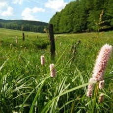
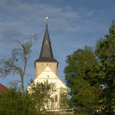
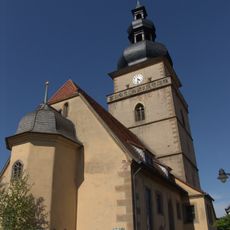
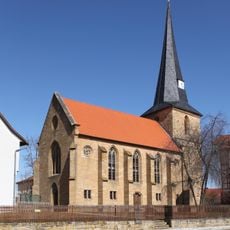
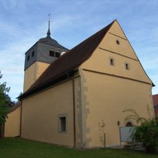
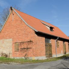
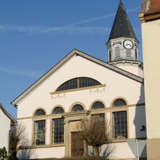
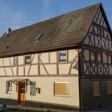
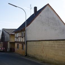
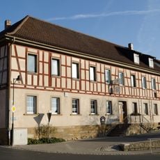
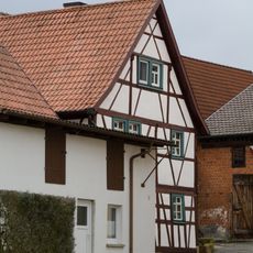
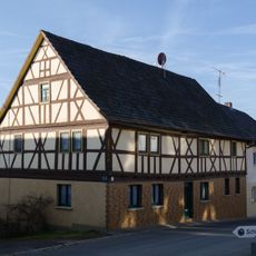
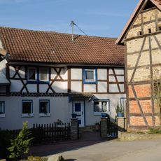
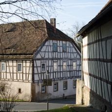
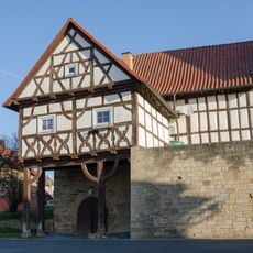
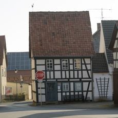
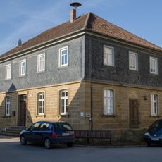
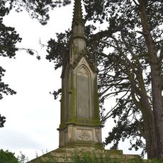
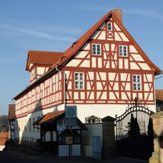
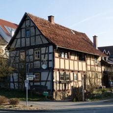
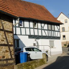
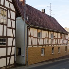
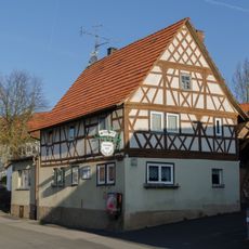
Höchheim, municipality in Lower Franconia
Location: Rhön-Grabfeld
Elevation above the sea: 296 m
Website: https://www.hoechheim.de/
Part of: Verwaltungsgemeinschaft Bad Königshofen im Grabfeld
Website: https://hoechheim.de
GPS coordinates: 50.36667,10.45000
Latest update: March 2, 2025 21:20
Wasserschloss
1.4 km
Thüringer Wald Biosphere Reserve
2.3 km
Kirche
1.5 km
Burgstall Rappershausen
3.1 km
St. James (Irmelshausen)
1.6 km
Milzgrund
3.5 km
St. Urban
2.3 km
Kirche
3.6 km
Gemeindebrauhaus
3.8 km
Kirche
2 km
Brunnenfassung
284 m
Wohnhaus
2 km
Wohnhaus
1.9 km
Gasthaus
1.5 km
Gutshof
1.4 km
Bauernwohnhaus
3.7 km
Wohnhaus
2 km
Bauernhaus
1.9 km
Gutshof
1.4 km
Schlossökonomie
1.4 km
Wohnhaus
1.5 km
Bürgerzentrum
1.5 km
Denkmal
1.7 km
Gutshof
1.4 km
Einhaus
1.6 km
Wohnhaus
1.9 km
Wohnhaus
2 km
Wohnhaus
1.3 kmReviews
Visited this place? Tap the stars to rate it and share your experience / photos with the community! Try now! You can cancel it anytime.
Discover hidden gems everywhere you go!
From secret cafés to breathtaking viewpoints, skip the crowded tourist spots and find places that match your style. Our app makes it easy with voice search, smart filtering, route optimization, and insider tips from travelers worldwide. Download now for the complete mobile experience.
A unique approach to discovering new places❞
— Le Figaro
All the places worth exploring❞
— France Info
A tailor-made excursion in just a few clicks❞
— 20 Minutes