
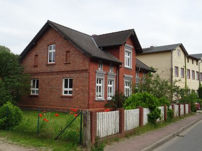
Hammer an der Uecker, municipality of Germany
Location: Vorpommern-Greifswald District
Elevation above the sea: 10 m
Website: http://www.amt-ferdinandshof.de/frame/hammer.htm
Website: http://amt-ferdinandshof.de/frame/hammer.htm
GPS coordinates: 53.58333,13.96667
Latest update: March 13, 2025 08:19
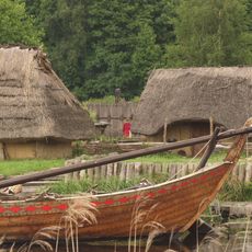
Ukranenland
4.3 km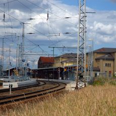
Pasewalk railway station
7.7 km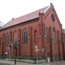
St. Otto (Pasewalk)
8.5 km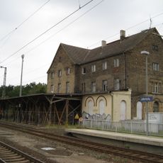
Jatznick railway station
2.8 km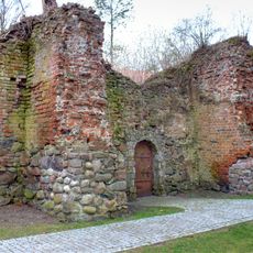
Schlossruine Torgelow
5.9 km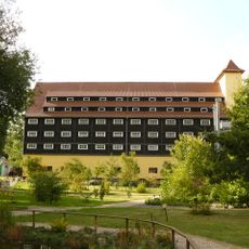
Forstsamendarre Jatznick
2.9 km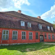
Herrenhaus Heinrichsruh
7.3 km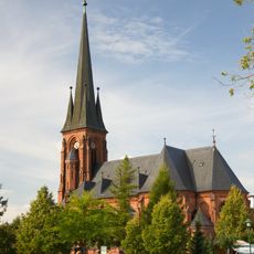
Christuskirche (Torgelow)
5.9 km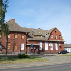
Torgelow railway station
6.3 km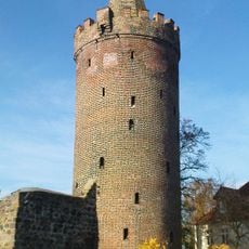
Pulverturm
8.5 km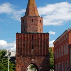
Mühlentor
8.4 km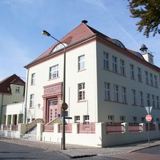
Pestalozzischule Torgelow
6 km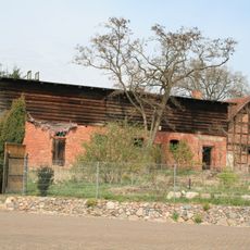
Neuenkrug
5.5 km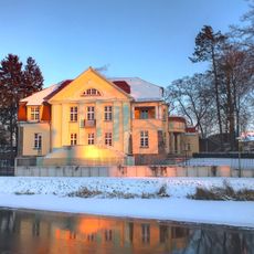
Friedrichstraße 1
5.9 km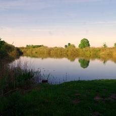
Darschkower See bei Stolzenburg
7.5 km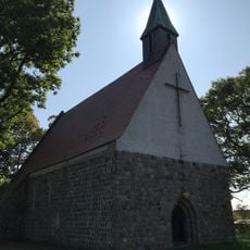
Kirche Dargitz
5.5 km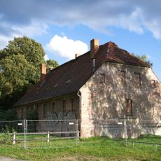
Hüttenwerkplatz 2
6.5 km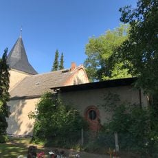
Kirche Groß Spiegelberg
5.9 km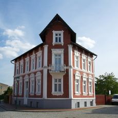
Ueckerstraße 1
5.7 km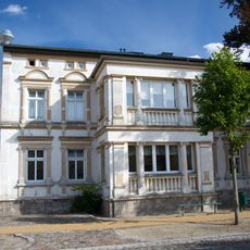
Königstraße 2
5.9 km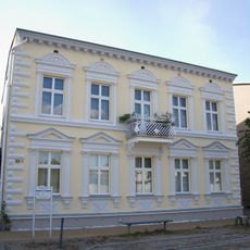
Königstraße 23
5.8 km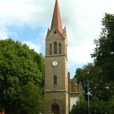
Dorfkirche Belling
4.4 km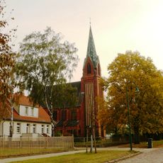
Mariä Geburt
6.3 km
Stolperstein dedicated to Fritz Gronemann
5.7 km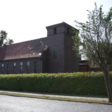
Herz-Jesu-Kirche
6.2 km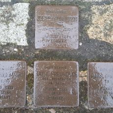
Stolperstein dedicated to Käthe Freundlich
5.7 km
Stolperstein dedicated to Julius Gronemann
5.7 km
Stolperstein dedicated to Hans Gronemann
5.7 kmReviews
Visited this place? Tap the stars to rate it and share your experience / photos with the community! Try now! You can cancel it anytime.
Discover hidden gems everywhere you go!
From secret cafés to breathtaking viewpoints, skip the crowded tourist spots and find places that match your style. Our app makes it easy with voice search, smart filtering, route optimization, and insider tips from travelers worldwide. Download now for the complete mobile experience.

A unique approach to discovering new places❞
— Le Figaro
All the places worth exploring❞
— France Info
A tailor-made excursion in just a few clicks❞
— 20 Minutes