
Gehofen, municipality of Germany
Location: Kyffhäuserkreis
Elevation above the sea: 125 m
Shares border with: Reinsdorf, An der Schmücke
Website: http://gehofen.de
GPS coordinates: 51.32402,11.31990
Latest update: March 6, 2025 12:13

Ritteburg
2.4 km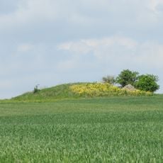
Derfflinger Hügel
2.5 km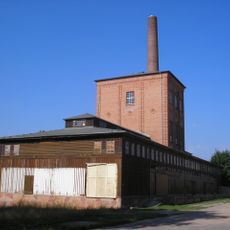
Saline Artern
4.5 km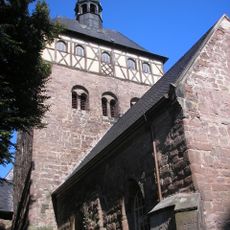
Stadtkirche St. Marien (Artern)
5.1 km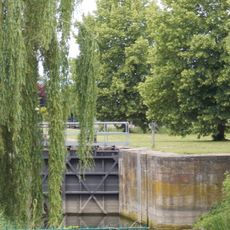
Schleuse Artern
4.8 km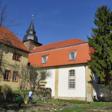
Convent Church St. Laurentius Donndorf
4.2 km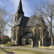
St. Johannes (Bretleben)
6.1 km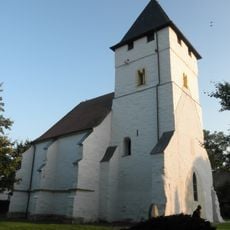
Old St. Peter and Paul (Donndorf)
5 km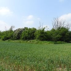
Huthügel
3 km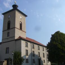
St. Johannis
2.4 km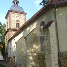
St. Johannes
3.2 km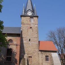
Saints Peter and Paul Church
3.9 km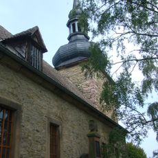
St. Jakobus
2.4 km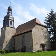
Church Hauteroda
7.3 km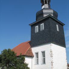
Kirche Heygendorf
4.4 km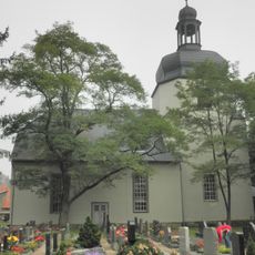
St. Bonifatius (Oberheldrungen)
7.4 km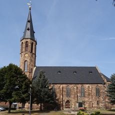
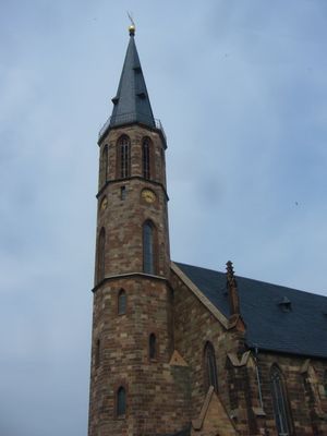
St. Johann Baptist (Gehofen)
87 m
Hohe Schrecke - Finne
7.6 km
Bottendorfer Hügel
6.1 km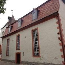
St. Mauritius (Bottendorf)
6.3 km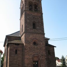
Protestant Church Schaafsdorf
4.9 km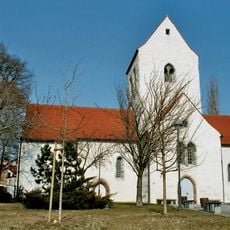
St. Veit
4.7 km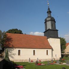
St. Johannis (Nausitz)
1.6 km
St. Peter and Paul (Donndorf)
5 km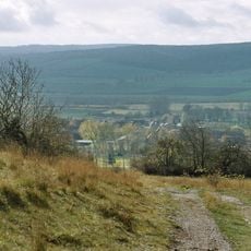
Bottendorfer Hügel
6.1 km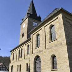
St. Georg (Langenroda)
6 km
War memorial Schönewerda
3.2 km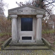
War memorial Oberheldrungen
7.4 kmVisited this place? Tap the stars to rate it and share your experience / photos with the community! Try now! You can cancel it anytime.
Discover hidden gems everywhere you go!
From secret cafés to breathtaking viewpoints, skip the crowded tourist spots and find places that match your style. Our app makes it easy with voice search, smart filtering, route optimization, and insider tips from travelers worldwide. Download now for the complete mobile experience.

A unique approach to discovering new places❞
— Le Figaro
All the places worth exploring❞
— France Info
A tailor-made excursion in just a few clicks❞
— 20 Minutes