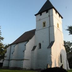
Ritteburg, Water castle in Kalbsrieth, Germany.
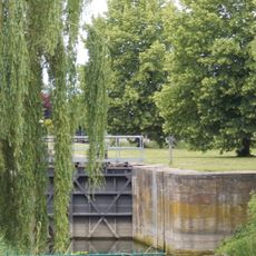
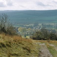
Ritteburg was a water castle positioned on the left bank of the Unstrut River in Thuringia at an elevation of approximately 121 meters. The fortress used its riverside location to monitor and control crossing points along this important regional waterway.
The fortress emerged around the year 1000 and was subsequently given to the Archbishop of Magdeburg, who maintained control over river crossings for centuries. It was destroyed in 1290 and thereafter ceased to be a significant site.
The name preserves the memory of a once-important defensive stronghold that guarded river passage in medieval times. Its location reveals how communities built protection into their choice of settlement sites.
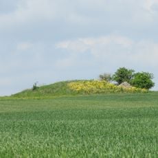
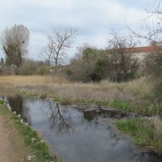
No physical structures remain at the site today, though the location is accessible from nearby roads and offers views of the river valley. Visitors can walk the area to understand the natural features that made it strategically valuable for defense.
Historians consider this location a possible site of the Battle of Riade in 933, a major German victory against Hungarian forces that marked a turning point in early medieval European history. The strategic positioning near the river may have been crucial to the outcome.
The community of curious travelers
AroundUs brings together thousands of curated places, local tips, and hidden gems, enriched daily by 60,000 contributors worldwide.